Mokelumne Peak

Place Name: Mokelumne Wilderness
Place Description: State: California
Date: 06/06/2020
Elevation: 9,334 Feet
Prominence: 1,494 Feet
Miles: 16.1
Elevation Gain: 3,980 Feet
Lists: Tahoe-Ogul, Western States Climbers, Sierra Club Peaks Section, WSC Star Peaks
-
Difficulty
-
Solitude
-
Kid Friendly
-
Summit Views
The Gem Of The Mokelumne Wilderness
Surrounded by deep canyons, Mokelumne Peak stands out like an island deep within the Mokeumne Wilderness.
Overall
3.3Pros
- Awesome views
- Well maintained trail most of way
- Solitude
Cons
- Long hike
- Descent into Tanglefoot Canyon both ways
- Lots of bears in area
When people visit the Mokelumne Wilderness, they flock to Carson Pass and Round Top. Rightfully so, Round Top is the highest peak in the area. However, it’s not the most remote. That title is claimed by Mokelumne Peak. Standing at 9,334 feet, it’s not the highest in the region. What lacks in elevation, it makes up for in location. Surrounded by deep canyons, Mokelumne Peak stands out like a island deep within the wilderness that it’s named after.
Getting There
The only realistic way to access Mokelumne Peak is by exiting Highway 88 at the Bear River Reservoir turnoff. Follow the paved road over the dam and along its shoreline. Eventually this will turn into Cole Creek Rd, and there will be signs noting the Tanglefoot Trail. Make a left turn over a small one-way bridge the crosses Cole Creek. After a couple miles you will reach a small crossroad where you can park or continue a little ways up to the trailhead where there is a parking area.
The Hike
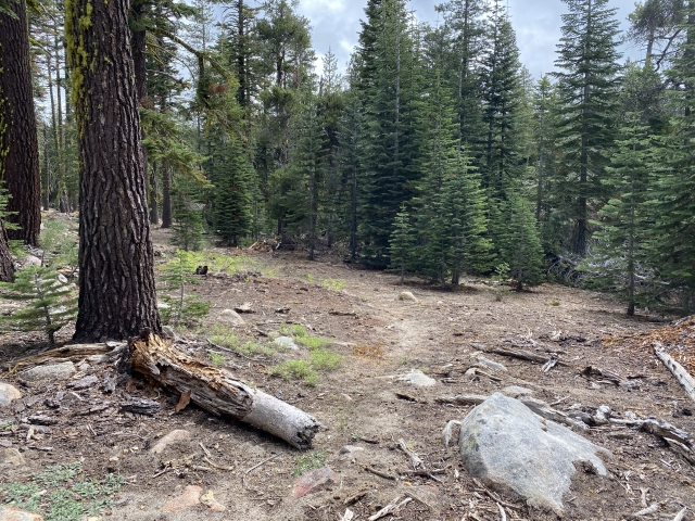
From the Tanglefoot Trailhead to the summit of Mokelumne Peak is around 8 miles. The hike starts on trail through a dense forest and leads to the shoreline of a small lake. Shortly after that, you will come across a junction saying Shriner Lake and Moraine Lake. While Shriner is supposed to be a nice detour, you will follow the trail to Moraine Lake which is still a couple miles away across Tanglefoot Canyon.

First junction. Follow the sign to Moraine Lake.
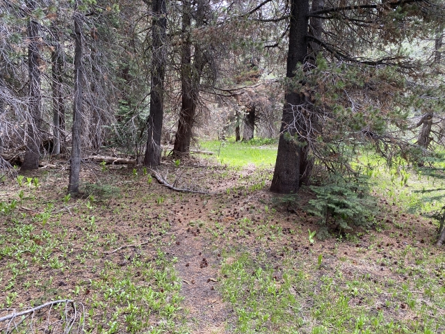
The trail, which is well maintained and easy to follow, descends into the canyon next. The drop is made gradual by the switchbacks and soon you will be a few hundred feet lower walking through this beautiful canyon.
Soon there is a creek crossing. The water wasn’t moving, but it is a few feet deep. There are a few different logs that lay across the creek and will serve as your bridge.

Creek crossing.
Ascending the south side of Tanglefoot is higher, however, more switchbacks make the gain much easier. Before you know it, you will be cresting the ridge and staring at Moraine Lake. This would make a great backcountry camp if you weren’t planning this as a day hike. In fact, there were a couple camps setup when we came through.

Moraine Lake.
Cross Country Section
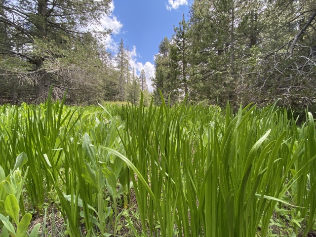
The trail climbs another ridge and drops in along a beautiful meadow and small creek. After about 2 miles from Moraine Lake, keep an eye out for a series of cairns. This is where you will leave the trail and follow the shoulder of the peak a couple of miles up to the summit.

This is the pile of cairns marking the spot to leave the trail and go cross country.
The cross country section isn’t bad. The underbrush is minimal and the forest isn’t as dense. To my surprise, while heading up this section, I spotted two hikers coming down. As they got closer, I recognized them as Scott and Sean, who I hiked on Pyramid Peak with the year before. Such a small world and absolutely random place to bump into someone!
After a short conversation, we headed up through the forest passing through some small snow drifts and very fresh bear scat. Hours old, if that. In fact, Sean and Scott jumped a bear earlier in their hike up.
The Summit
Once we broke the treeline, the large talus pile laid out ahead. While it was steep, the rock was stable and easy to navigate. I made quick work of it and took my place atop Mokelumne Peak.

Heading up the talus to the summit.
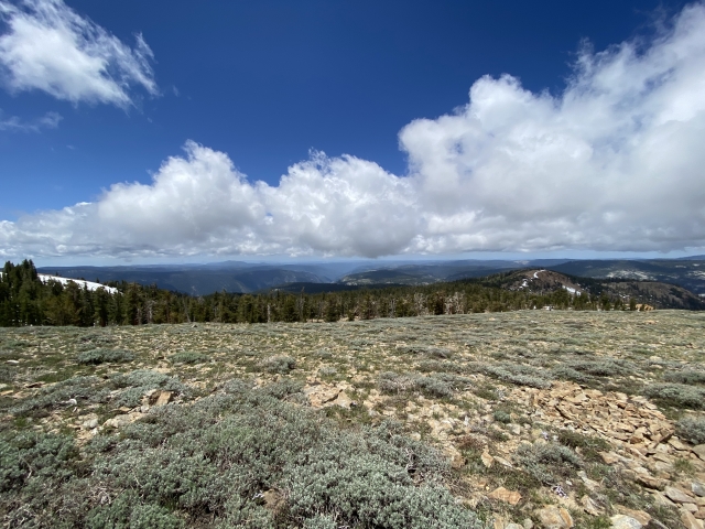
The views were fantastic. Even if the long range views were obstructed by the low passing clouds. Many peaks from Highway 50 to Sonora Pass were visible.
Our hike out was out was uneventful, just long. The 8 miles back seemed to go on forever and my feet were barking for the last few. Again, on the way back, Tanglefoot Canyon must be descended into. The silver lining is the north side isn’t as high to climb out of.
The Final Word
Mokelumne Peak has always been on my bucket list, even before I became a Peak Bagger. As a kid, we spent our summer camping trips and deer hunting seasons across from the peak. It always dominated the area and was something that held high prestige to me. I can even see the peak from my home town over 70 miles away.
This is hands down the best hike on the western side of the Sierras…change my mind.