Mount Patterson

Place Name: Mono County
Place Description: State: California
Date: 09/19/2020
Elevation: 11,673 Feet
Prominence: 4,153 Feet
Miles: 5.4
Elevation Gain: 1,749 Feet
Lists: Tahoe-Ogul, Great Basin, Desert Peaks Section, Desert Summits Book, Western States Climbers
-
Difficulty
-
Solitude
-
Kid Friendly
-
Summit Views
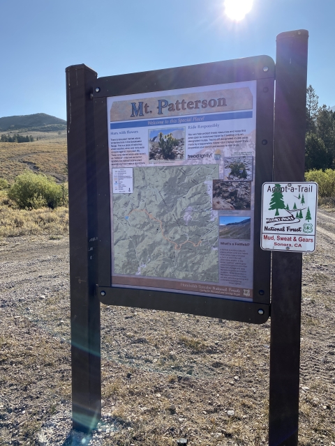
The High Point Of The Sweetwaters
Mount Patterson is big and prominent mountain that sees a lot of traffic…and by traffic, I mean vehicular traffic. There is a wonderful OHV trail that leads to the summit making this a popular destination on the weekends.
Overall
2.6Pros
- Stunning country
- Lots of colors
- Crazy good summit views
Cons
- Road can be crowded with OHV traffic
- Rough 4×4 road in spots
- Very open and exposed
There may be lesser known mountain ranges in California, however, most probably couldn’t find the Sweetwater Mountains on the map. This little known range that straddles the California/Nevada border is beautiful and offers lots of recreation.
At 11,673 feet, Mount Patterson is the king of this range and with right kind of vehicle, one could drive all the way to the summit. While this is fun for some, we decided to drive up to certain point and then hike to the top.
Getting There
You won’t find any signs or find this area in any brochures so you will have to do some research. There is a great video from Kenthejeepguy that shows what the drive to the top is like.
Getting to this area of the Sweetwaters, you will need to access it from Highway 395. The dirt road is signed Burcham Flat Road and is between the towns of Walker and Bridgeport. Burcham Flat is well graded, wide, and one can drive 40 mph on most of it. A short way up, follow a dirt road to the right. This road goes through beautiful aspen groves with multiple creek crossings before popping out at Lobdell Lake.

Driving past Lobdell Lake.
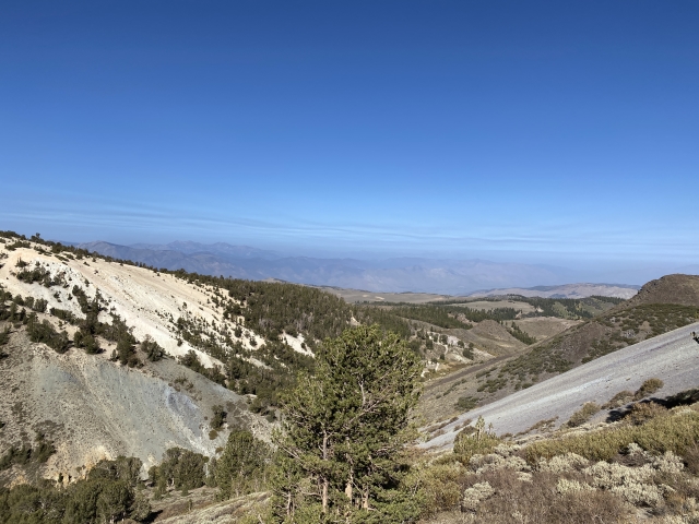
Up to the lake, the road is pretty good and 4WD was not needed. After the lake, it gets pretty rough and in couple spots my Tacoma requited 4LO and Lockers. That said, I feel I could have driven my Tacoma to the summit.

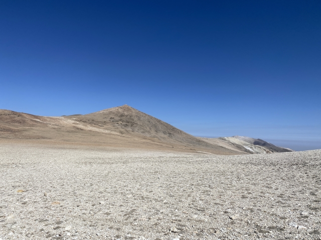
The road towards Mount Patterson.
The Trail
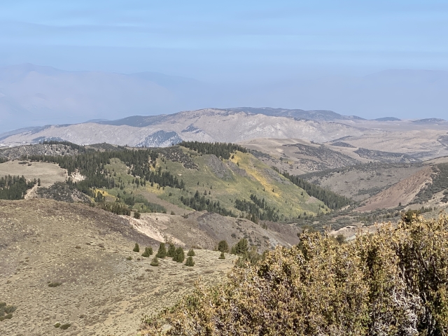
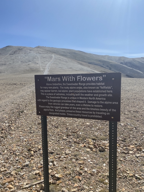
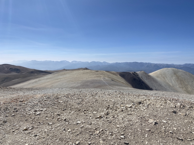
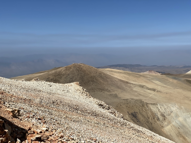
The trail is the road. We parked around the 10,000 foot mark on top of ridge and walked to the summit from there. After a certain point, the trees give way and you are in barren tundra. As the sign up the says, Mars With Flowers.

Over 11,000 feet. Road leading to the summit of Mount Patterson.
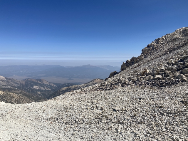
I enjoy this type of terrain and the views are splendid.
We hiked up to the flag at the summit where we soaked in the views. As the day went on more and more OHV groups started up the road, so be careful when hiking here.

Mount Patterson summit.
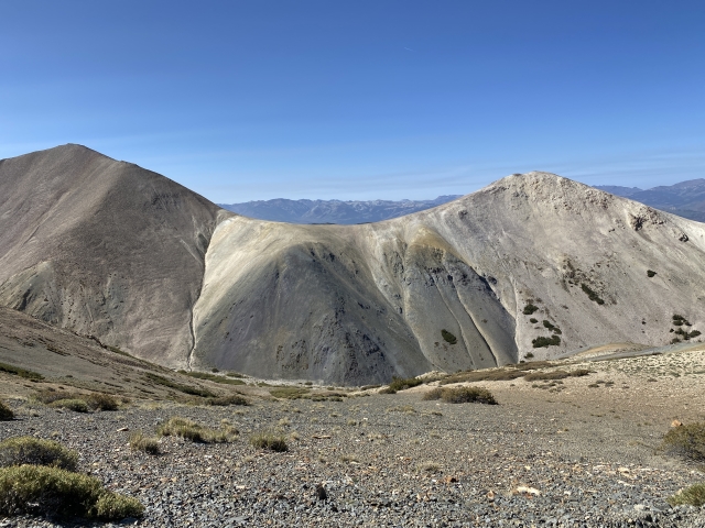
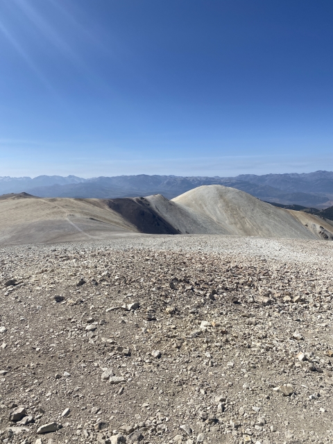
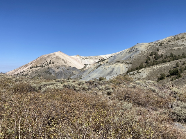
There were great views of South Sister and I can’t wait to come back for that one. We had intended hiking over to Wheeler Peak, however, my friend fell ill on this trip and we hiked back out.

Close up view of South Sister.
The Final Word
The range is beautiful and one that I have been wanting to play around in since I was a kid. I had been to East Sister and Middle Sister further north in the range, however, the terrain is different.
I’m definitely looking forward to coming back. If there is one knock, it’s the fact that there is OHV traffic. I have no problem sharing the mountains with them, however, I’d prefer to hike in areas a little quieter.
Mount Patterson is a fantastic mountain that shows up on quite a few major peak lists. It’s a good get and a wonderful day trip!