Snow Mountain

Place Name: Placer County
Place Description: State: California
Date: 08/24/2022
Elevation: 8,014 Feet
Prominence: 1,334 Feet
Miles: 13.9
Elevation Gain: 3,102 Feet
Lists: Tahoe Ogul Peak List
-
Difficulty
-
Solitude
-
Kid Friendly
-
Summit Views
Off The Beaten Path
If you are looking for a peak off the beaten path in the Lake Tahoe/Truckee area, Snow Mountain is exactly what you are looking for. With half the route coming off trail through with good route finding being needed, Snow Mountain makes for a fun adventure.
Overall
3Pros
- Trail for first half
- Great views
- Lots of peace and quiet
Cons
- No trails and lots of deadfall
- Snake country
- Possible private property issues
Rising high above the American River Canyon, Snow Mountain is a large piece of granite on the northern side.
At 8,014 feet, Snow Mountain is on the lower end of elevation spectrum for those chasing the Tahoe Ogul List.
Getting There
Snow Mountain is accessed via the Palisades Creek Trail. This trail leads all the way down to the American River.
To access the trailhead, exit Interstate 80 at Soda Springs and head into the little town. Make a right on Soda Springs Rd then turn right onto Pahatsi Rd.
This road runs through a neighborhood and the pavement turns to dirt and the road is called Kidd Lakes Rd.
Follow Kidd Lakes Rd about 4 miles to the end. Some moderate clearance may be needed for the last 1/2 mile.
The Trail
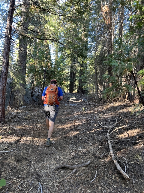
Start out by hiking down the Palisades Creek Trail and pass over the damn between Kidd Lakes. The trail zig zags through open granite and continues to drop downwards.

Palisades Creek Trail
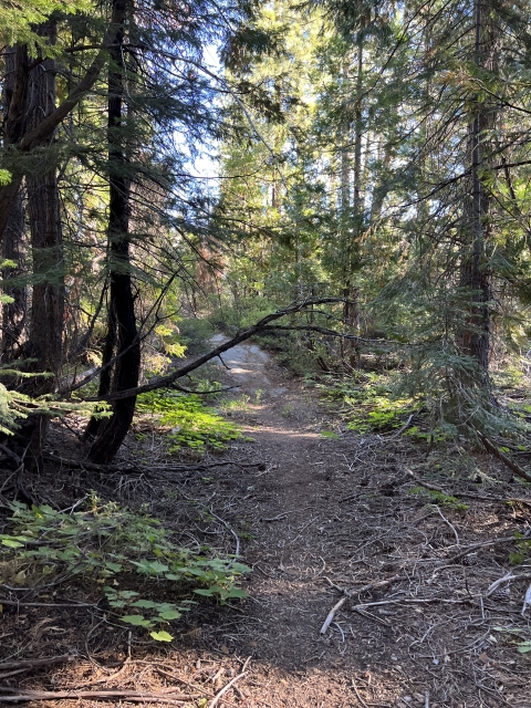
After passing a small lake, the trail enters into a pine forest and still continues going downhill.
Around the 3.5-mile mark, it’s time to head off trail. From here I recommend having a gps track on your phone to help with navigation.

Broke off trail near this rock.
The forest is dense and there is a lot of deadfalls to negotiate through. If not careful, ending up in serious bushwhacking might become unavoidable.

Going off trail through the deadfall
With good route finding, you can do this entire hike without bashing through the bush. Along the way you will pass through a couple of open meadows and the higher you get, the more open the terrain becomes with granite and manzanita.

First meadow area

By passing the brush on the granite.
Just pick your way up to the ridge that leads to the summit.

Looking at the path to the summit ridge.
The Summit
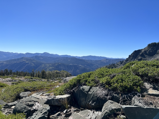
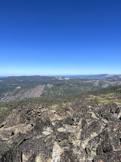
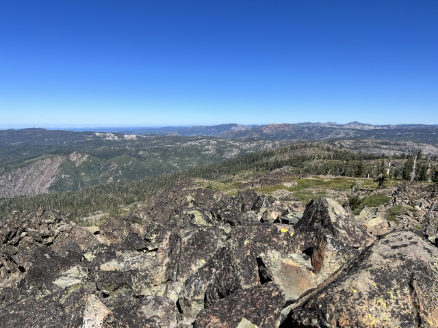
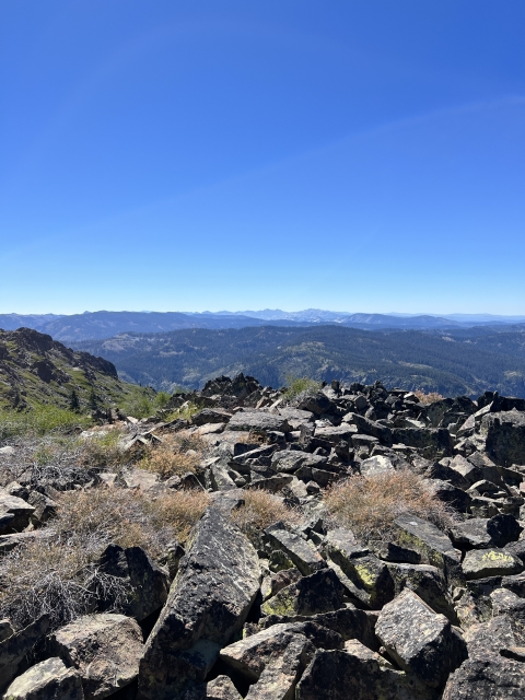
This is a very large summit area. There are about 5 rock piles and lots of manzanita up here. The western rock pile gives off a nice view into the American River Canyon.

Snow Mountain summit

American River Canyon
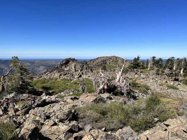
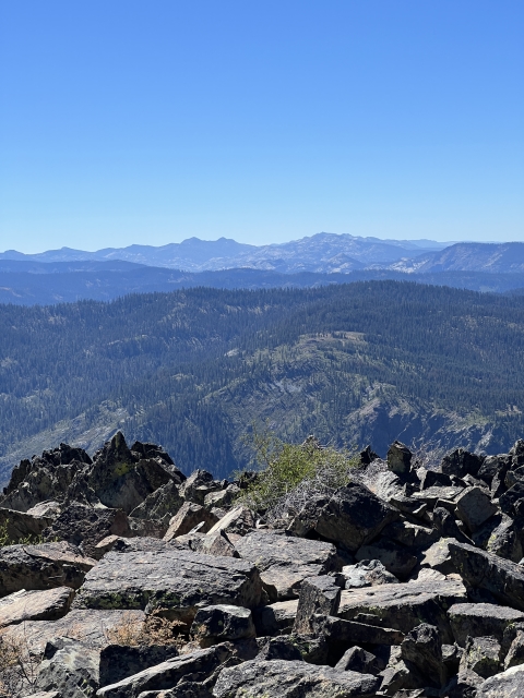
The eastern rock pile is home to the benchmark and has great views of Tinker Knob, English Mountain, and Castle Peak. Many more Ogul Peaks are visible.

Snow Mountain

Views to English Mountain and the Sierra Buttes behind them.
You can even see all the way to Mount Diablo and Mokelumne Peak. There was no summit register in the rocks.
The Final Word
As far as Ogul peaks go, Snow Mountain is on the lesser end of the hikes. Honestly, it’s one of those that you only climb because it’s on the list.
Another issue in this area is some nearby private land. The owners have tried to say that there is no legal access to Snow Mountain. This is 110% incorrect.
Fortunately Snow Mountain sits in the Tahoe National Forest and there are plenty of routes to the summit that stay on public land.
If looking to combine this peak with another Ogul, Devils Peak is also nearby and makes for a great double peak day!