Tule Peak

Place Name: Washoe County
Place Description: State: Nevada
Date: 09/13/2021
Elevation: 8,724 Feet
Prominence: 3,409 Feet
Miles: 6.1
Elevation Gain: 3,073 Feet
Lists: Great Basin List, Great Basin Peak List Star Peaks, Great Basin Range5 High Points
-
Difficulty
-
Solitude
-
Kid Friendly
-
Summit Views
The Longest 6 Six Miles Of My Life...Possibly!
Is Tule Peak the greatest peak in Nevada? Probably not. Is it still a good one to knock off? Most definitely. Just be warned that the mileage is short, but it will feel like forever as the terrain is very monotonous and constantly going upward.
Overall
3.1Pros
- Fairly simple route finding
- Nice summit views
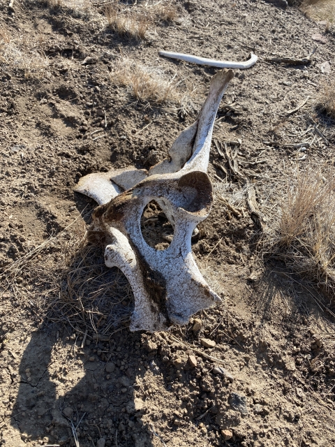
- Wildlife
Cons
- Dirt road access requires clearance
- Long exposed slog
- No trails at all
Located on the western side of Pyramid Lake, Tule Peak hovers over the region as the highest point in the Virginia Mountains. Even with a coveted spot on the Great Basin Peaks List and a quick drive from Reno, Tule Peak still sees very little visitation. In fact, on average, less than 10 people per year find themselves in this spot!
One thing you won’t find a lack of out here is solitude!
Getting There
Arriving at Tule Peak is pretty easy. Follow NV-445 north out of Sparks, NV towards Pyramid Lake. Approximately 17 miles later, there will be a paved road to the left called Winnemucca Ranch Rd. Take this road and follow it for around 11.5 miles. The pavement will eventually turn to a wide gravel washboard road.

Winnemucca Ranch Rd with Tule Peak in the distance.
After you pass a ranch house there is small unsigned road to the right. Take that road for about 1.2 miles until you reach a fence line. This section of the road is decent, however, it does cross a spring that could pose trouble if muddy. Moderate clearance needed.

Lower section of the road.
From the fence, some people choose to start the hike passing by Cowboy Spring. Starting from here, you are at 4,900 feet elevation and would be about 8 miles roundtrip.
If you are driving a high clearance vehicle with good tires, stay on this road along the fence line. It gets very rocky in places, despite the rocks, 4×4 is not really ever needed. There is one fence that needs to be opened to pass through. Follow this for another 1.7 miles as the road starts driving along side of a ravine. There is a huge flat area to park and turn around just above the area marked “Spring” on the topo.

Gate along the road.

Parking spot
The elevation here is 5,650 and will require 6 mile of roundtrip hiking.
The Trail
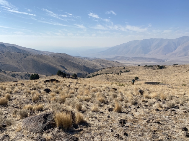
For starters, there is no trail. You may encounter some game trails along the way, however, they are sporadic. There is nothing confusing at all about the terrain and just looking towards the peak it should be evident which way to go. Just a pick a line and aim for the open ridge that leads up from the west.
Cross the ravine and then start out across the sage brush. For s short while, there is a primitive road that you can walk on. Once that starts to head the wrong direction, head back across the sage and grasses to the right of the first hill you see.

The ravine and spring we parked by.
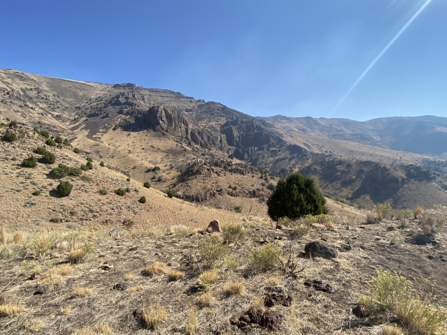
Skirting to the right of this you will reach a small ridge that you can use to reach the main ridge line that leads to the summit. Once on the main ridge, enjoy the easy walking for a bit on some cow trails and prepare for the steep climb ahead.

From where you leave the old road bed, Went around that first hill to the right.
Once you start climbing again, you are .88 miles to the summit, which still can’t be see. There is also 1,600 feet of gain to negotiate.

Nearing the ridge then following it up the shoulder to the summit.
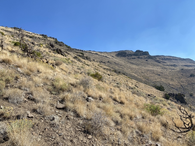
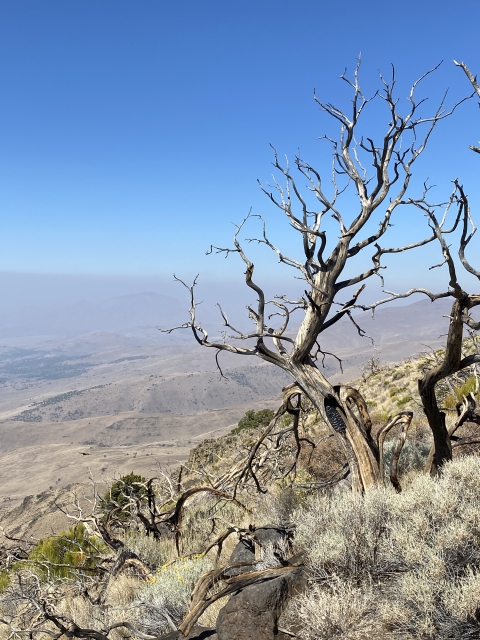
Throughout this section there are areas of short game trails which helps navigate through rocks, burnt and fallen trees, and rock out cropping. The final 400 feet to the false summit is easier terrain to walk on, a bit sandier.

The final 400 feet towards the false summit.
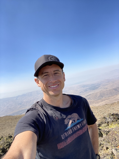
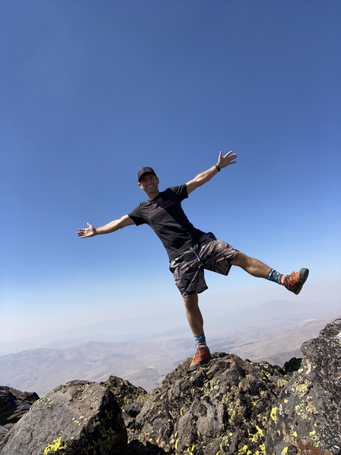
The Summit
Once you top out on the summit ridge, there is a pole sticking out of the ground. Quickly you will see the summit rocks off to the left just a short distance away.

Gaining the false summit, the real summit just ahead.
Follow the easy terrain to the summit. The first set of rocks has the benchmark and register. A short distance away there is a large cairn. I checked both just to be sure. There is also a wooden post and sign that served as memorial for someone who has departed this world.

Tule Peak summit cairn.
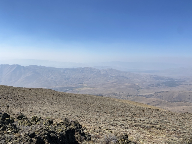
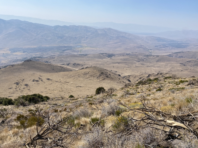
The views to the east towards Pyramid Lake were smoked in on this day. The views west towards Dogskin Mountain and State Line Peak are impressive. If the smoke wasn’t so bad, I’m sure Tohakum Peak would have been an amazing site across the lake.

Looking east. The north shore of Pyramid Lake barely visible through the haze.
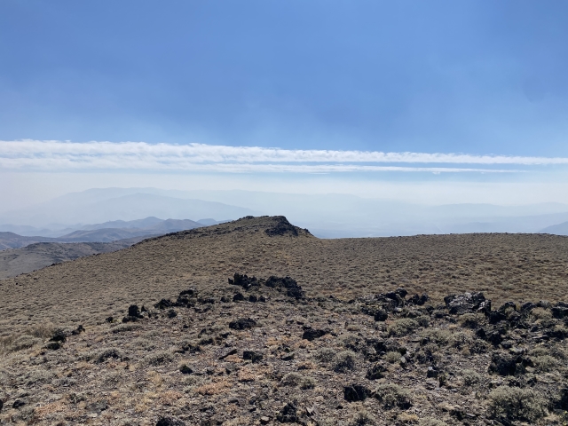
Mahogany Flat lied just below to the east and there is a nice looking jeep road that crosses it. If one could find a way to that road, the hike would be very short and easy.

Mahogany Flat below the summit to the east.
The Final Word
Is Tule Peak the greatest peak in the world?. Not at all. Is it worth a trip? Most definitely.
This is one Great Basin List Peak I have had on my radar for awhile and had been saving it for just the right time. With the national forest closures in California, Tule Peak was just what I was looking for as a day trip.
For Great Basin List chasers, Tule Peak is one of about 10 peaks in the greater Pyramid Lake area and one of the easiest to get to, making for a great half day outing.