Arc Dome

Place Name: Nye County
Place Description: State: Nevada
Date: 06/18/2021
Elevation: 11,773 Feet
Prominence: 5,213 Feet
Miles: 14.6
Elevation Gain: 4,335 Feet
Lists: Ultras of the Lower 48, Great Basin Peak List, Nevada Peaks Club Emblem Peak, Desert Peaks Section, Las Vegas Mountaineers Classics
-
Difficulty
-
Solitude
-
Kid Friendly
-
Summit Views
An Absolute Gem In The Middle Of Nevada
Arc Dome is a premier ultra prominent mountain that lies in the center of the state of Nevada. It’s the highest point of the Toiyabe Range and Arc Dome Wilderness and is some of the prettiest country in the state.
Overall
3.8Pros
- Great trail system
- Awesome campground
- Beautiful country
Cons
- Long way from anywhere
- Prone to thunderstorms
- Seriously, can’t think of a 3rd con!
If you were ever wondering what a hidden gem looks like, look no further than the Arc Dome Wilderness. This area is on the southern end of the Toiyabe Range in Central Nevada and is home to the range’s highest peak – Arc Dome.
Arc Dome sits at the end of a high open ridge with deep aspen filled gullies and valleys busting off to the east and west of the Toiyabe Crest. Stewart Creek drains out of the high country and down through camp.
Getting There
Arc Dome is smack dab in the middle of nowhere. Lonely highways and miles of backroads will get you to Columbine Campground.

From US-50, west of Austin, head south on on State Route 722 for seven miles. The next turn is left onto Route 21 which you will follow to the Yomba Indian Reservation. Turn left onto Forest Road 119, cross the Reese River and head up 10 miles to the campground.
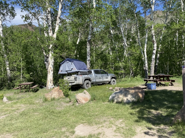
Columbine Campground is wonderful place to camp. It sits above 8500 feet in an aspen grove along Stewart Creek. The campsites all have picnic tables and firepits. There is also a bathroom.

Camping at Columbine CG.
We were fortunate to enjoy an amazing sunset that night at camp!

The Trail
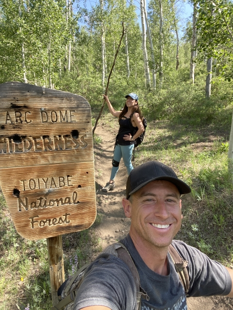
The Arc Dome Trail starts from the campground and shortly you will pass the wilderness sign. There are two forks to the trail that will make a great loop hike. We hiked this in a clockwise direction making a left at the first junction.

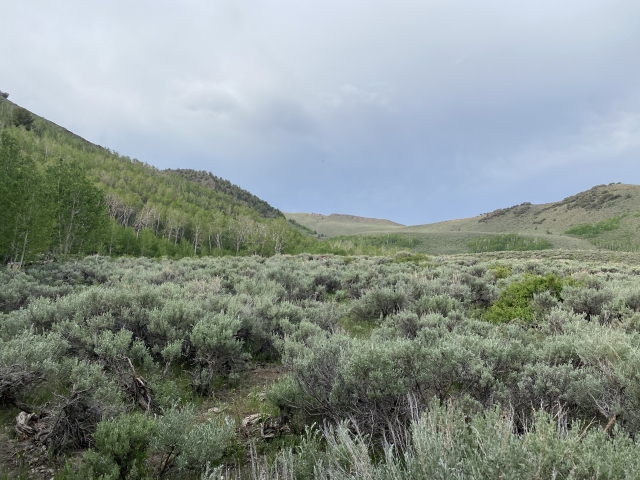
Entering the Arc Dome Wilderness.
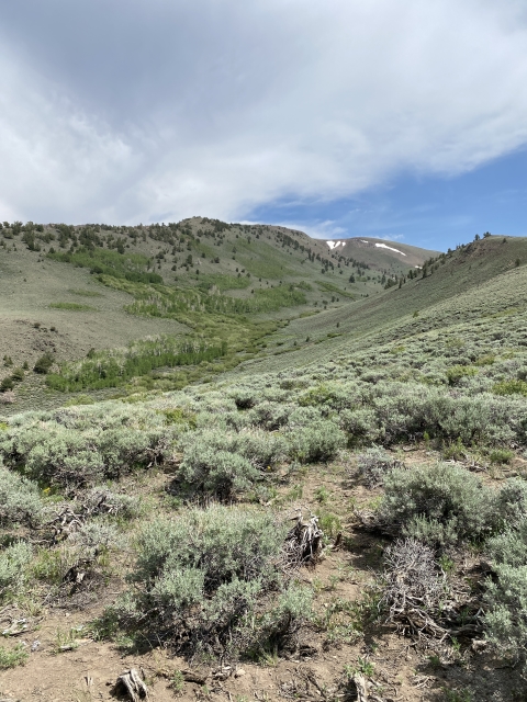
A walk through an aspen grove starts the hike. It was very green and wildflowers were starting to bloom. I can only imagine how gorgeous this area is in the fall.

Jordan walking through the aspens.
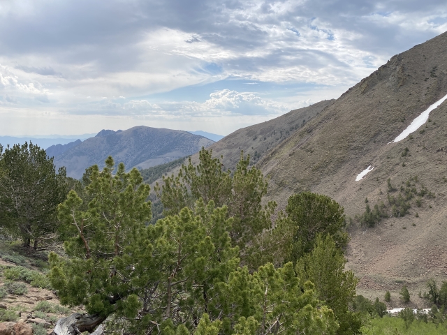
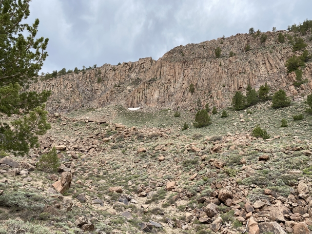
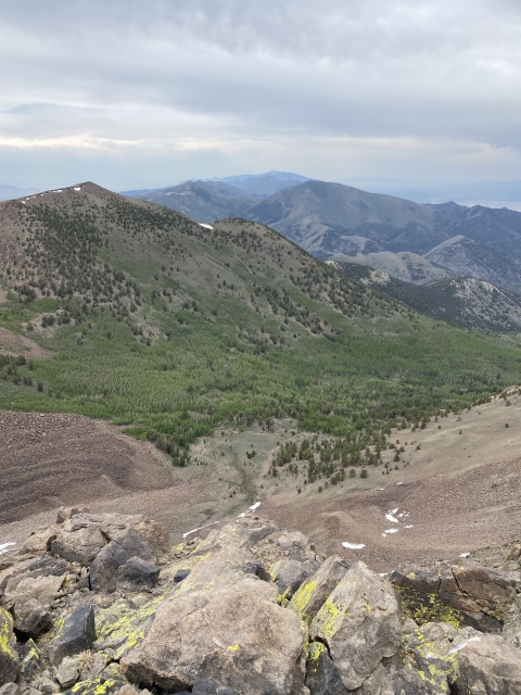
After a couple creek crossings and upon leaving the aspens, the trail climbs up to a high ridge line above the Stewart Creek Drainage. From here, the trail drops down the west side below a pretty cliff band before climbing to the base of Cirque Peak.

Coming down the backside of the ridge. Trail drops here and heads towards the saddle above.
We didn’t have time to summit Cirque Peak since there were ominous clouds in the area. Adding this as a bonus peak would not take long.
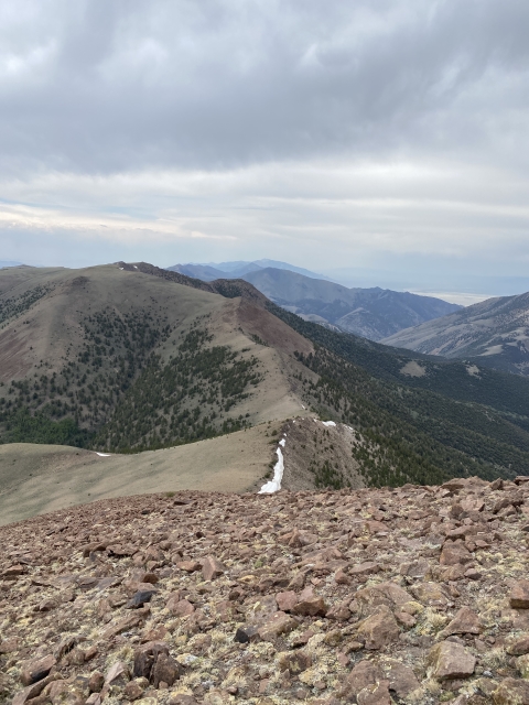
From here on out, the trail is on the high crest of the Toiyabe Range, well above the tree line. Once you meet the junction to the other trail that heads back to camp, you turn south and head for Arc Dome.

Stormy skies.
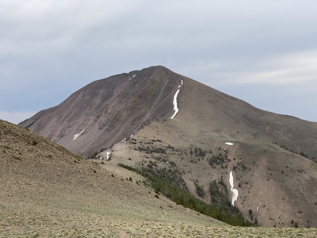
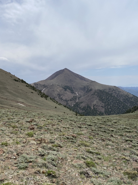
Arc Dome dominates the view in front of you, however, a large drop to the saddle is in the way and as you are dropping, you know you need to gain it on the way back.

Arc Dome finally comes into view.
The Summit
The Arc Dome summit is reached by a trail that snakes through the talus from the saddle. It’s pretty steep and well above 11,000 feet making for slow going. As you are headed up, keep an eye out for the old hunting blinds made from stacked rocks.

Closing in on the Arc Dome summit.
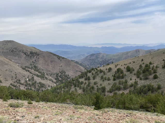
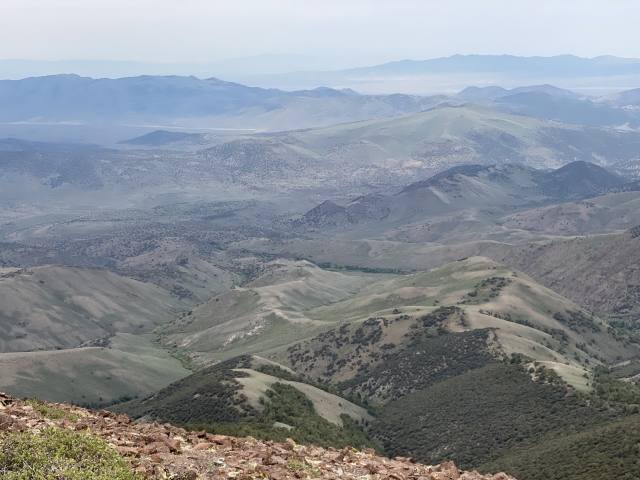
Follow the trail all the way to the wind shelter and the benchmark. You have just bagged Arc Dome and the views around you are amazing. Even with heavy clouds, we could see all the way to the White Mountains in California. Mount Jefferson and Toiyabe Dome are prominent to the east.

Views towards Mount Jefferson
The Return
Starting back down from the Arc Dome summit you reverse your course down the switchbacks all the way back down to the saddle before climbing back up to the Toiyabe Crest.

The return route back to the crest.
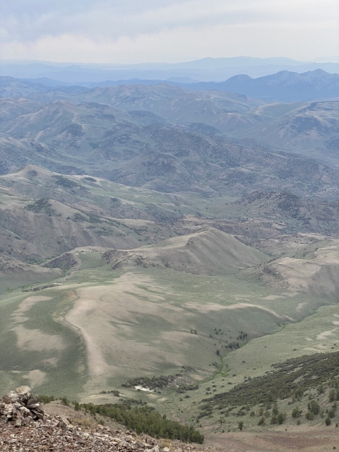
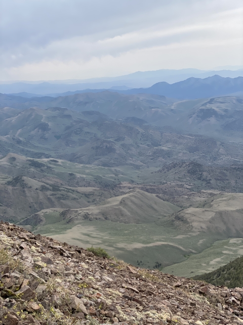
On the return we took a quick detour over to North Arc Dome for a quick bonus peak. This vantage point had a beautiful view the former glacial cirque that makes up the valley between it and Cirque Peak.

View from North Arc Dome
Back at the junction, we followed the other trail back down. This follows an old primitive jeep road for a long stretch as it heads down the west side of the crest.
Eventually it will drop into a huge valley with meadows and a creek. Aspen lead into from above and below. We saw 4 bucks in this section.

Lots of aspens on the return loop.
The last of the trail meanders through very dense aspens all the way back to the campground where the loop completes.

Last stretch through the aspens
The Final Word
What can I say, Arc Dome is unreal. It’s beautiful and amazing. It’s worth every minute of the long drive out to this remote area.
Arc Dome Wilderness is loaded with flora and fauna and is a place any adventurer should check out!