Avawatz Peak

Place Name: San Bernadino County
Place Description: State: California
Date: 01/29/2022
Elevation: 6,155 Feet
Prominence: 3,295 Feet
Miles: 14.8
Elevation Gain: 4,782 Feet
Lists: Desert Summits Book Peak List, Desert Peaks Section, California P2Ks, Western States Climbers List
-
Difficulty
-
Solitude
-
Kid Friendly
-
Summit Views
Wash, Wash. Washy. Washy.
If you like long desert washes, man have you come to the right place! From the get go, you are hiking long wide washes that narrow into short scrambles only to open up and start climbing again. The payday at the end of the day is completely worth it. Avawatz Peak is a very nice DPS Peak and makes for a long, enjoyable day!
Overall
3.3Pros
- Decent access road
- Great views
- Lots of peace and quiet
Cons
- Questionable access in parts
- Long hike
- Would be hot in summer
If you enjoy walking up washes, you have come to the right place! Avawatz Peak is accessed by a long walk up a wash. When I’m talking long, I mean 7 miles and 4,700 feet of gain. There may not be a longer wash walk in the Mojave!
Even though the wash is long, it narrows in places and offers some fun little scrambles.
Getting There
Since Fort Irwin lies on one side of the range, access is from Highway 127 between Baker and Shoshone.
Near the Dumont Sand Dunes, Saratoga Springs Rd takes off to the left. This is a well graded dirt road. Just under 2 miles in, Sheep Creek Springs Rd leaves to the left.

Sheep Creek Springs Rd
This road is much rockier and will require some moderate clearance. 4WD is not necessary. After 4.5 or so miles a couple of old foundations, a tank, and port-a-potty come into view. The toilet does not have a pit dug under it.

Sheep Creek Springs
Park here and cross the spring to start the hike.
The Trail
There are no maintained trails, however, route finding is pretty easy. Just follow the wash.
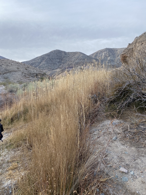
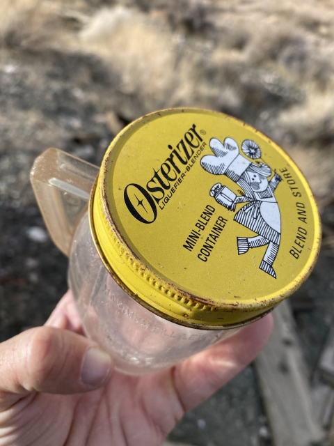
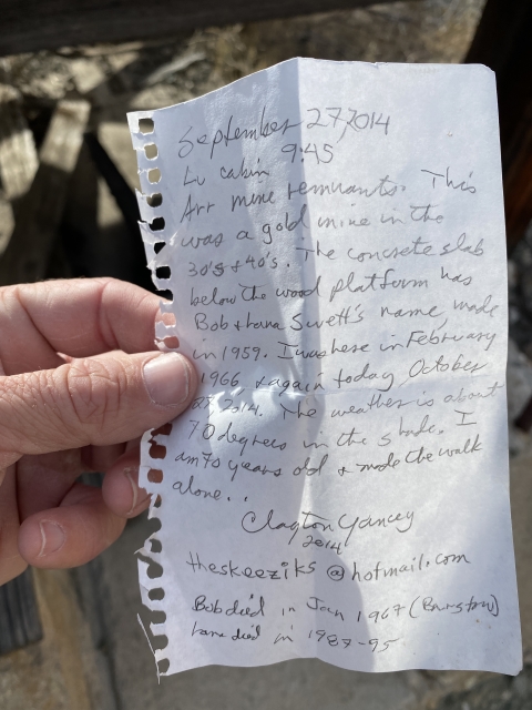
During the first three miles, the wash is very wide and has multiple channels. Once around three miles in, some old ruins are on the left. This was an old miner’s cabin. There’s even a register left by a gentleman that was there in 1966 and re-visited in 2014.

Old mining cabin
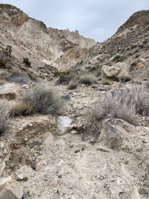
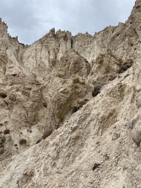
Next up, the wash narrows greatly into a tight canyon. There are two class 2 dryfalls to climb up. No exposure on either.

Class 2 dryfall
This whole time you will be following a rusted pipe that brought water to the cabin.
After another 1/2 mile, you enter a very cool narrow passage. There is a spring here and lots of vegetation. Based on the amounts of sheep droppings, they frequently visit this spring.

Spring and pinch point between two washed.
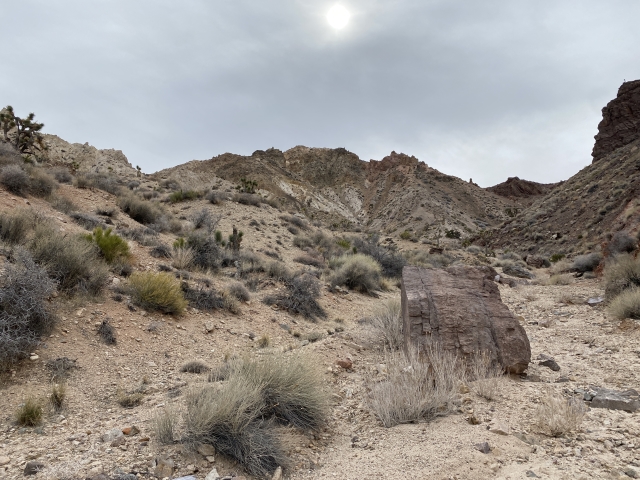
The wash opens up quickly and leads all the way to the third narrow section. This is where it starts climbing for the ridge line. One class 2+ dryfall is encountered, however, it can be by passed.

Class 2+ dryfall
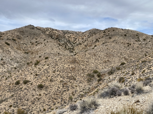
Thankfully, at the top of the wash Avawatz Peak comes into view for the first time. Cross the little valley and start up the shoulder of the mountain.

Avawatz Peak comes into view from the top of the wash.
The Summit
Once out of the wash and on the summit ridge, the hike is pretty trivial. Before you know it, the views will open up to the south. Even though there are more trees, the terrain is open and easy to follow.

The register is loaded with visitors from Fort Irwin. Lots of military stickers and name badges.
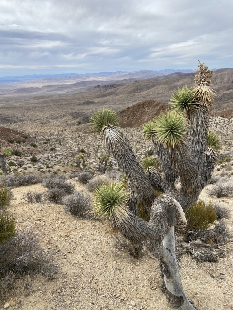
Views from the summit are quite nice overlooking the vast desert. In the winter, the snow-capped summit of San Gorgonio Mountain can be spotted. In the other directions, Charleston Peak and Kingston Peak make an appearance.

San Gorgonio off in the distance.
The Final Word
Avawatz Peak is probably best left to die hard desert peak baggers. It’s a fun hike, there are some pretty colors in the rocks. If you are just looking for a casual stroll, you may want to look elsewhere. This hike is a big day; therefore, you should plan accordingly for 7-9 hours.
Hiking in the late fall to early spring is also the better option. Even though this is the desert, the area can be very cold in the winter and snowfall can occur. Always check the weather prior to visiting a desolate location such as this.