Cady Peak

Place Name: San Bernadino
Place Description: State: California
Date: 01/17/2022
Elevation: 4,627 Feet
Prominence: 2,427 Feet
Miles: 6.6
Elevation Gain: 2,154 Feet
Lists: California P2K List
-
Difficulty
-
Solitude
-
Kid Friendly
-
Summit Views
A Much More Deserving Peak
Why is this peak left off of all of the desert peak lists? It’s almost a tragedy that this is not a DPS peak or at least a Desert Summit Book Peak. That said, a day in the Cady Mountains is time well spent and proof that inclusions on peak lists is very subjective!
Overall
3.4Pros
- Decent access road
- Great views
- Lots of peace and quiet
Cons
- No trails
- loose ridge
- Would be hot in summer
Outside of lucky sheep hunters that draw a coveted tag, the Cady Mountains are probably not well known. Unless you are also a peak Bagger. Then Cady Peak sits out in the Mojave with over 2,000 feet of prominence. That fact alone makes it a lightning rod for avid peak baggers.
Getting There
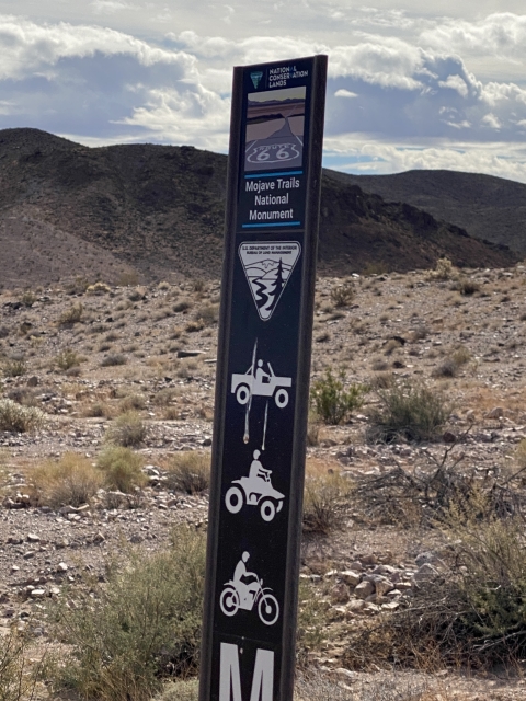
Cady Peak lies in the Mojave Trails National Monument north of I-40 and east of Barstow.
After exiting into Route 66, you will follow the highway a few miles before turning left onto a dirt road. Follow this over some live railroad tracks and through a construction site.
The dirt road definitely needs high clearance to reach the starting point. 4WD isn’t necessary. I do not advise driving this road when it is wet.

Road into Cady Peak
The Trail
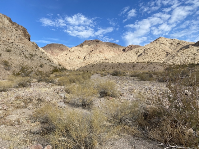
After parking be the power lines, the hike is simple. Walk north across a wide wash and open desert.
The vegetation is sparse with some cactus and even some coyote melons. Apparently, these are very awful and possibly toxic? At least that is what I have heard!
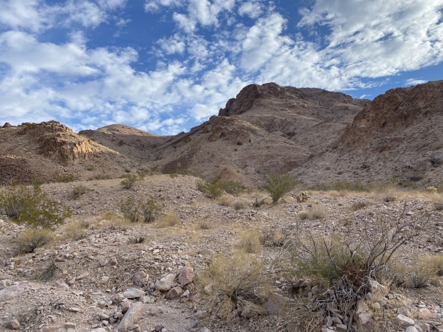
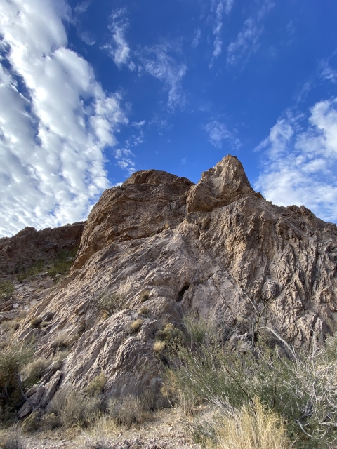
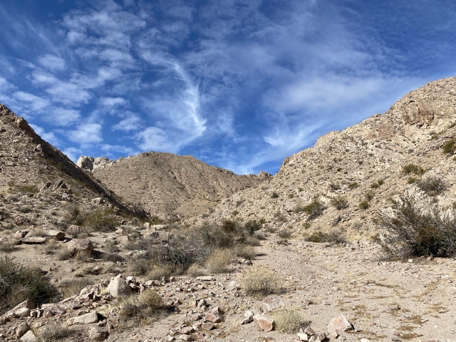
For over two miles the hike leads deeper into the wash and Cady Peak sits there in plain view.

Cady Peak comes into view.
Once the wash narrows, a dryfall is stands in the way and acts as a gateway to the upper wash. This is an easy class 2 climb.

The class 2/3 dryfall.

Looking down from the top of the dryfall.
Even though it’s tighter in the wash, the terrain is simple and very stable. You can make quick work of it. At a certain point, there are is a rock cairn and this is where to climb out to the left.

In the upper wash.
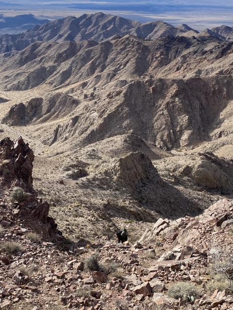
The terrain going up is steep and slippery. There are some rock outcrops that you will need to bypass. However, nothing exceeds easy class 2.

On the ridge heading towards the summit
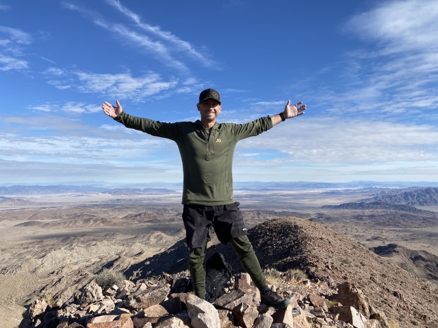
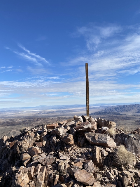
The Summit
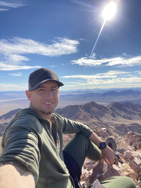
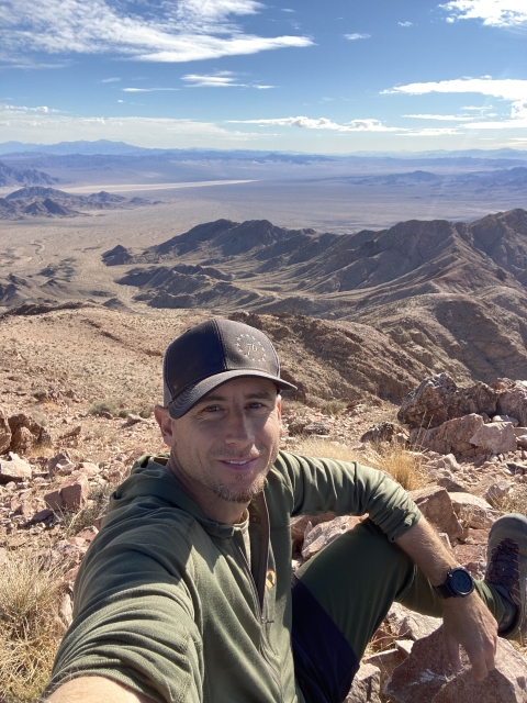
Just before the summit you will see one more rock outcrop and a chute to the left. It’s an easy climb up from here and the views at the top are wonderful!

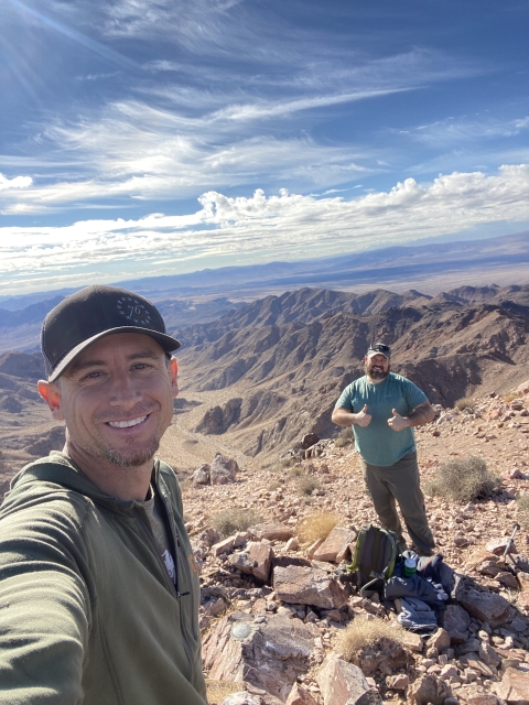
Ryan coming up the final stretch.
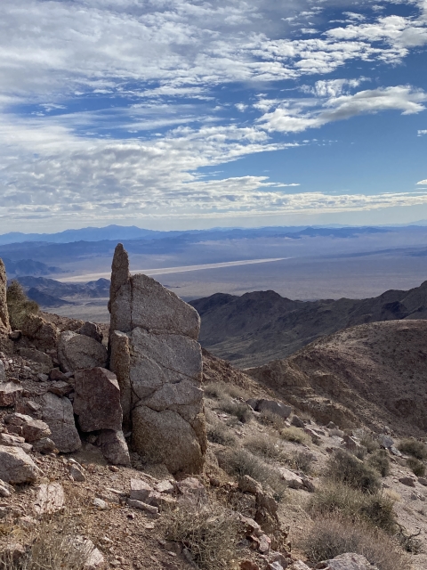
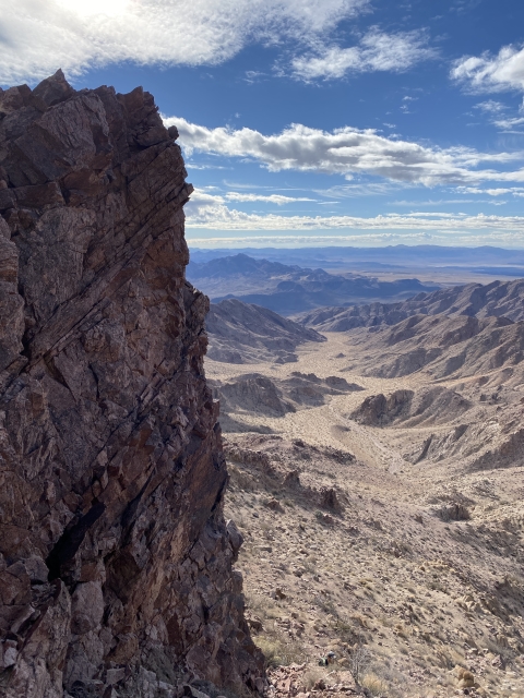
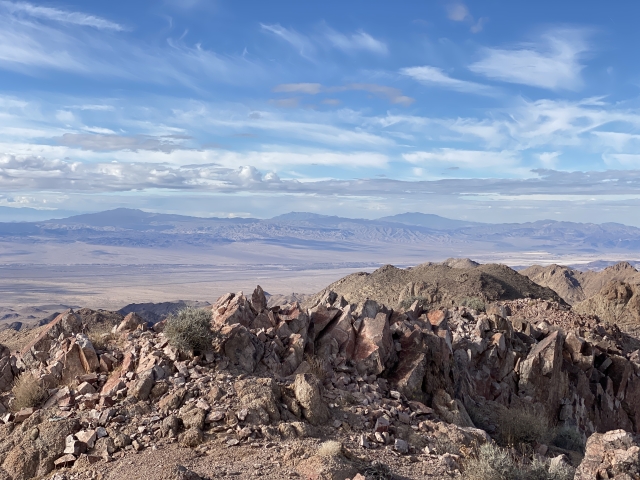
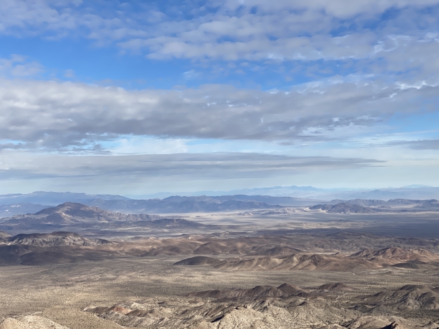
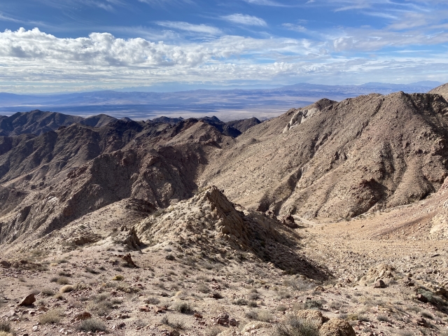
You can see San Jacinto Peak, San Gorgonio, Charleston Peak, and so many others! The views are what you would expect from a 2,000-foot prominent peak in the middle of the desert.

Cady Peak summit.

Summit views.

The Final Word
For whatever reason, this peak failed to make the cut for the Desert Peaks List or Desert Summits Book. It’s kind of a shame this one was passed over and a bunch of duds lie on those lists.
Unfortunately, we didn’t see any sheep, however, we followed lots of sheep sign up the wash. We did find 4 Mylar balloons and an unspent .50 cal bullet with date stamping on it. It was manufactured at the St. Louis Armory in 1943.

.50 Caliber Cartridge

Mylar balloons we collected.
Another cool looking peak called Sleeping Beauty lies just south of Cady and would make a great bonus peak. Weather was coming in and we scrapped our plans to climb it.

View to Sleeping Beauty.
The Pisgah Crater and lava tubes are also off the same exit just south of I-40 and made a fun side excursion.