Chocolate Peak

Place Name: Washoe County
Place Description: State: Nevada
Date: 07/26/2020
Elevation: 9,402 Feet
Prominence: 242 Feet
Miles: 8.9
Elevation Gain: 3,167 Feet
Lists: Great Basin Peaks
-
Difficulty
-
Solitude
-
Kid Friendly
-
Summit Views
Hiding In The Shadows
Hiding in the shadow of Mount Rose, Chocolate Peak offers some solitude and fun climb near Reno.
Overall
2.8Pros
- Awesome views of Mount Rose
- Well maintained trail
- Great parking
Cons
- Hot in the summer
- Main trail is popular
- No chocolate on the top
When you think of hiking around Reno, Chocolate Peak probably doesn’t cross one’s mind. Why would it? It sits in front of Mount Rose when looking up from below, almost blending into the background. There are no views of Tahoe or an established trail like Mount Rose offers. Despite all of these detractions, Chocolate Peak sits on the Great Basin Peaks List, making it a nice target.
The Trail
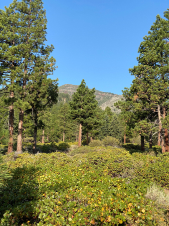
The trailhead lies up Mount Rose Highway where the Galena Creek Visitor Center is located. This is only about 7-8 miles from Highway 395. With ample parking and toilets, the trailhead is first class. There is a very nice trail system back here that loops through two drainages and ends at Church’s Pond.
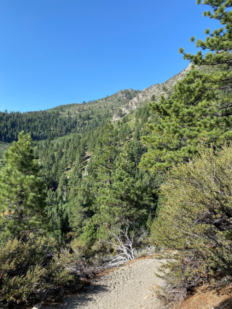
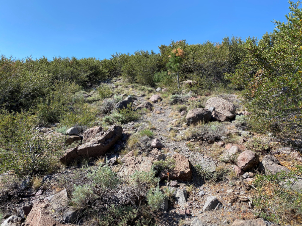
We followed the Jones Creek Trail for around 3 miles. This is a nice dirt trail that switchbacks up the mountainside. Eventually we passed the junction for the loop trail and continued towards the pond. To reach Chocolate Peak you will need to leave the trail before reaching the pond. In fact, you will start walking into an aspen tree tunnel. There is a pile of rocks at the start of the aspens and this marks where to go off trail.

Marker to go off trail
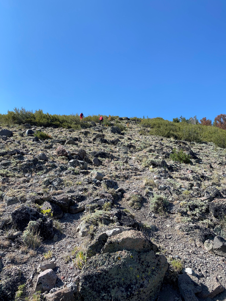
The use trail is in nice shape as it climbs the north ridge of the peak. We had expected to be bushwhacking up this ridge but found the trail to be freshly cut in places and avoiding the brush. As you climb, you will go through a small patch of forest and then pop out on the rocky and open flanks leaving a short distance to the summit.

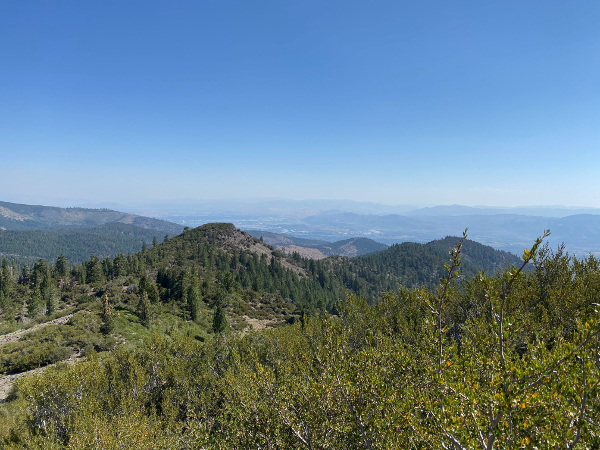
The summit views are dominated by the Mount Rose to the west, Slide Mountain to the south, and Reno to the east. We had hazy weather which dampened our views to the north. On a clear day, one would be able to see many of the peaks north of Reno. Looking southwest, we had a direct line of sight to Round Top on Carson Pass.

The Final Word
Chocolate Peak is not the best peak in the area, however, if you want a mountain all to yourself within 10 minutes from Reno, this is a good one. The hike offers a nice workout gaining just over 3,000 feet in 4.4 miles. Coming down can be done very quickly. This turned out to be a fun ½ day hike and is a worthy peak on the Great Basin List.