Duane Bliss Peak

Place Name: Douglas County
Place Description: State: Nevada
Date: 09/03/2020
Elevation: 8,658 Feet
Prominence: 698 Feet
Miles: 1.8
Elevation Gain: 919 Feet
Lists: Tahoe-Ogul
-
Difficulty
-
Solitude
-
Kid Friendly
-
Summit Views
A Nice & Easy Hike For Beginners
Duane Bliss Peak is a quick and easy summit located in Nevada above the eastern shore of Lake Tahoe. This would make a great introductory summit to peak bagging or a nice warmup hike before taking one something else in the area in the same day.
Overall
2.8Pros
- Short hike
- Great views of the Carson Valley and Lake Tahoe
- Easy road access
Cons
- Road can be crowded with OHV traffic
- NDOT can block the access from the north entrance
- Longer drive for a Tahoe hike from the west
If one was to rank the peaks from easiest to hardest on the Tahoe Ogul List, Duane Bliss Peak might just be #1. Located in Nevada on the east shore of Lake Tahoe, Duane Bliss Peak is a great peak to combine with fellow Ogul Lister Genoa Peak.
However, for me, I was unable to link the pair and did Duane Bliss Peak as a stand alone.
Getting There
To get to Duane Bliss Peak, you will need to take Highway 50 to Spooner Summit between Lake Tahoe and Carson City. On the south side of the highway you will see a large Nevada Department Of Transportation building and equipment. Turn into this area and drive through to the road that heads into the forest behind the building.
The road starts out paved and is the beginning of the Genoa OHV Road that goes all the way to Kingsberry Grade. If you are going to Genoa Peak you will need 4WD. To get to Duane Bliss, its all easy 2WD to the parking spot where the Tahoe Rim Trail crosses.
The Trail
This is a very short hike. It starts on the Tahoe Rim Trail for just a short distance.

Tahoe Rim Trail
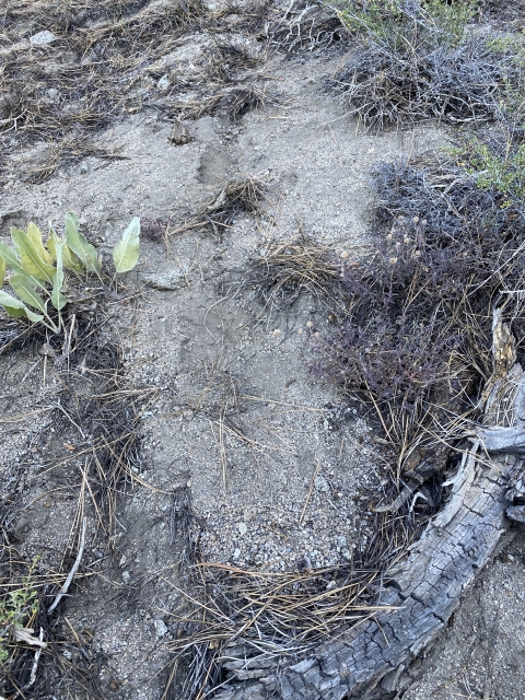
It’s wise to download a GPS track from PeakBagger to know where to cut off trail. My track and Andrew Kirmse’s track (whom I followed) are perfect. The climb in steep, over 900 feet in less than a mile and can be a lot tougher since there is thick brush. These tracks work well to find a way that is mostly brush free.
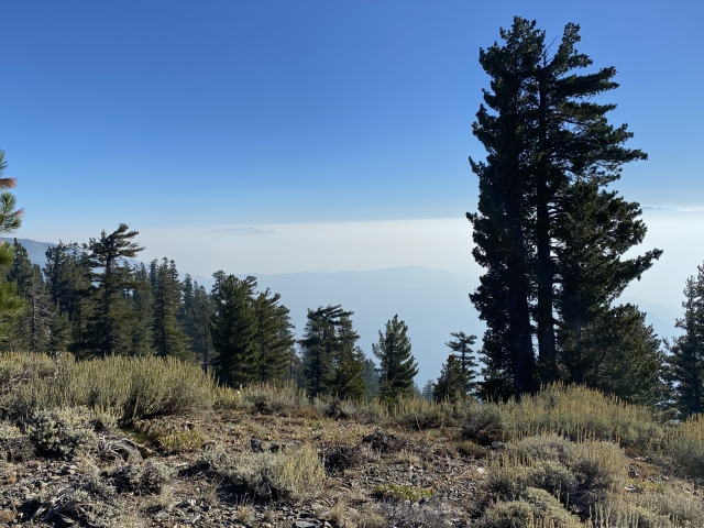
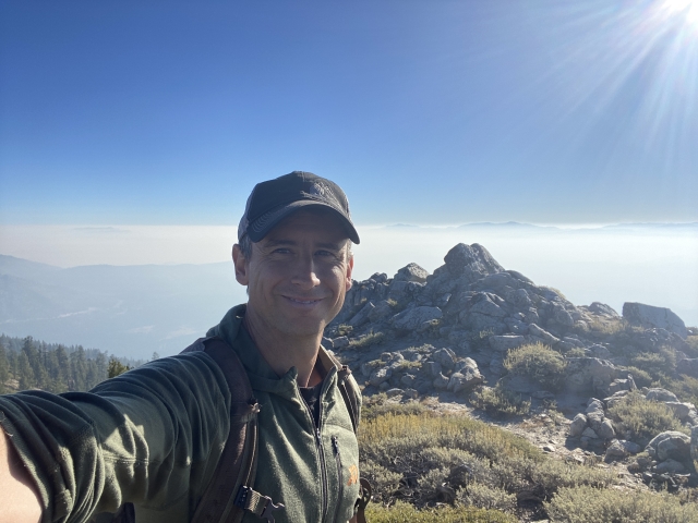
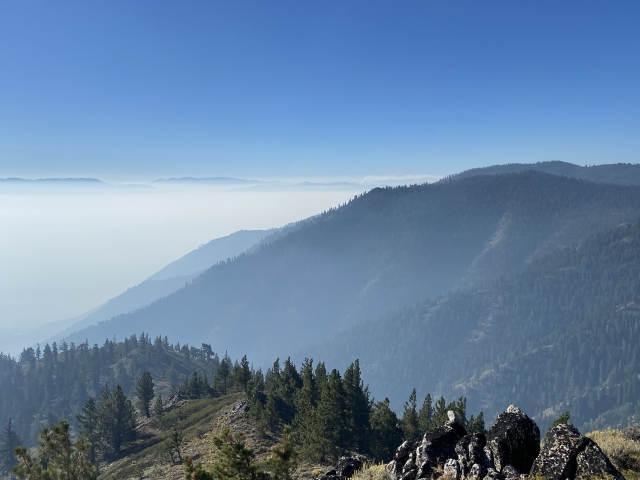
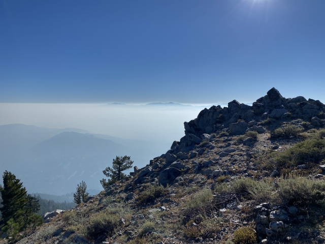
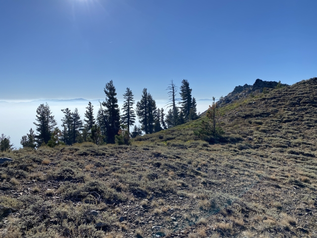
After a stiff climb you will top out on the open ridges and eventually the rock pile summit with views of the Carson Valley to the east and Lake Tahoe to the west. The day I was there, Tahoe was not visible because of smoke and the Carson Valley was smoked in leaving only the peaks to the east popping through. However, it was actually very pretty still.

Gained the ridge. Lots of smoke blocking the view of Tahoe.

Summit views to the east. Nevada peaks popping through the smoke.
I descended the way I went up and was from the summit to my car in 20 minutes. In fact, I only spent about an hour in total hiking.
The Final Word
If you are looking for a quick peak to add on to something else along the east side of Lake Tahoe, Duane Bliss is that peak. The hike is fast and pretty. I actually tagged on East Peak over in Heavenly later that day, so there are tons of options.
Duane Bliss Peak offers great bang for you buck! Check it out!