Ellis Peak

Place Name: El Dorado County
Place Description: State: California
Date: 07/05/2020
Elevation: 8,740 Feet
Prominence: 1,060 Feet
Miles: 7.0
Elevation Gain: 1,759 Feet
Lists: Tahoe-Ogul
-
Difficulty
-
Solitude
-
Kid Friendly
-
Summit Views
Pretty Hike On Tahoe's Western Shore
Ellis Peak is an intermediate hike that can be done on the western shore of Lake Tahoe. While it’s not as crowded as the trails at the southern end of the lake, don’t expect to find any solitude here, especially on the weekends.
Overall
2.5Pros
- Good paved road and parking
- Nice trail
- Great view of the lake
Cons
- OHV use allowed on trail
- Lots of people
- Parking can fill up early
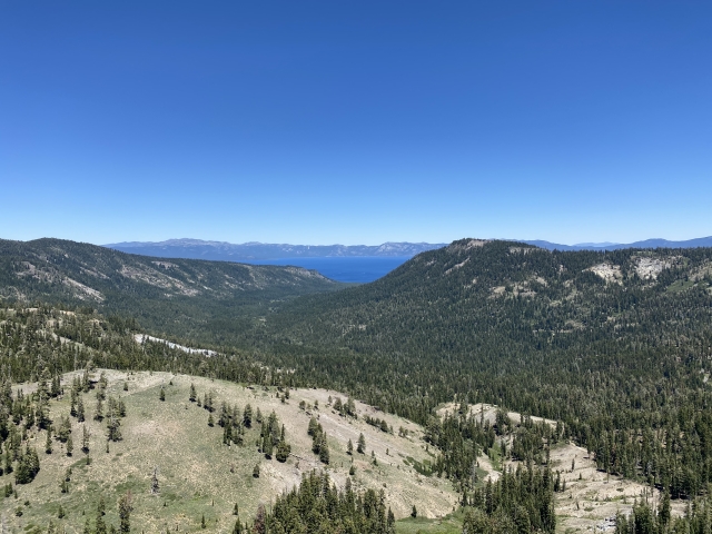
Lake Tahoe has no shortage of mountains to climb. While most flock over to the south shore, there are some great hikes along the northwestern side near Tahoe City. One of these hikes is Ellis Peak. Sitting at 8,740 feet, Ellis finds itself on the Tahoe-Ogul List, making it a nice target.
The Trail
The trailhead is well marked and lies at the top of Barker Pass. A paved road, Barker Pass Rd. winds up to the pass where there is ample parking. The road is narrow in a few spots and very popular with the cyclists, so be careful.
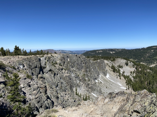
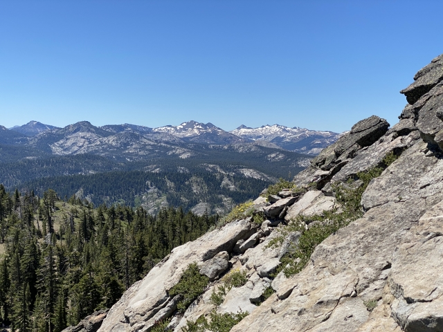
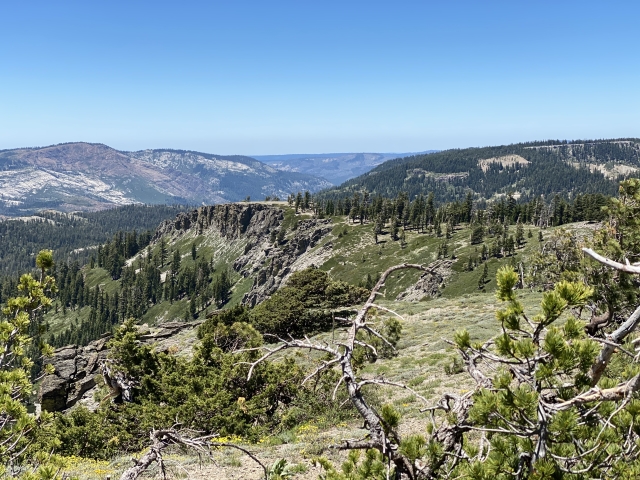
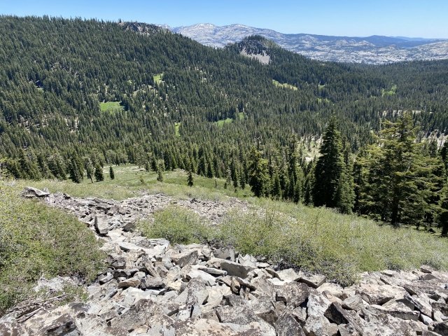
From the parking area, the trail climbs quickly and winds through the forest for the first ¾ miles. Once out of the forest, you find yourself on a beautiful ridge line with amazing views out towards Loon Lake and the Desolation Wilderness. Around this area, we heard a loud noise coming over the top and 4 dirt bikes came bouncing through. Apparently, this trail is open to dirt bikes which you should be on the lookout for.

Walking the ridge.
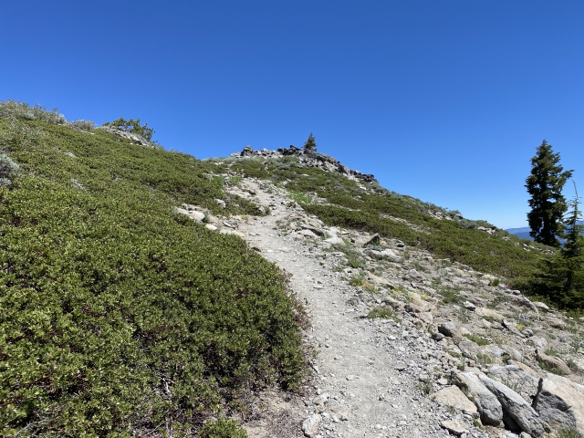
Along this ridge you will be able to ascend Peak 8514 to get an easy peak. The trail then descends back down into the forest. After a couple miles there is another OHV road that comes across the trail. At this junction there is a sign marking Ellis Lake to the left and the peak going straight ahead.

Junction marking the way to the lake and peak.
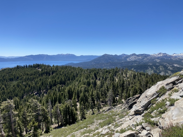
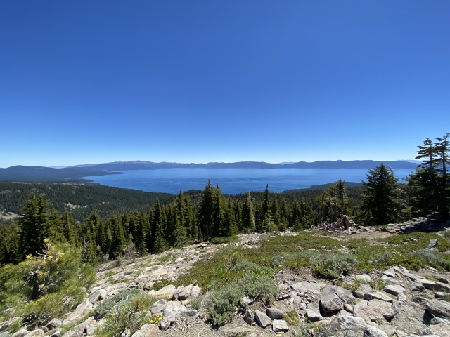
This is where the trail climbs the most and comes to a round-about. If you go left up what looks like an old OHV road, you will come out on some rocks which everyone was mistaking for the summit. The actual trail is to the right and skirts below these rocks to the actual summit. The views of the lake and surrounding area are fantastic.

Lake Tahoe from Ellis Peak.
Heading back only took a bit over an hour. There is some uphill on the return regain the ridge from earlier.
The Final Word
Overall, Ellis Peak was a fun hike. It’s just long enough to make it a worthwhile hike that can be combined with others during the same day. I would recommend tagging the other Ogul in the area, Twin Peaks, during the same trip.

Twin Peaks
Since I had hiked Twin Peaks before, we settled for Barker Peak just about a mile down the road from Barker Pass. Barker Peak can be done from the PCT Trailhead and is about 0.4 miles of steep climbing up loose rock.

Barker Peak.
Tahoe is growing ever more popular and touristy by the year and you can expect little solitude on this trail.