Fields Peak

Place Name: Grant County
Place Description: State: Oregon
Date: 06/23/2022
Elevation: 7,362 Feet
Prominence: 2,322 Feet
Miles: 4.4
Elevation Gain: 1,858 Feet
Lists: Oregon P2K
-
Difficulty
-
Solitude
-
Kid Friendly
-
Summit Views
An Easy Stroll In The Aldrich Mountains
The Aldrich Mountains are located in Central Oregon and not really know outside of the area. That’s fine, more solitude for those that want to enter the area. Fields Peak is the prominent peak and high point of the range and offers a beautiful road walk all the way to the summit.
Overall
3.5Pros
- Good access road to TH
- Great views
- Lots of peace and quiet
Cons
- Road walk
- Road past the TH is pretty narrow to drive
- Trash left on summit from old lookout
Unless you are prominence chasing peak bagger, Fields Peak is probably one that won’t show up on your radar.
With over 2,000 feet of prominence, Fields Peak is the high point of the little-known Aldrich Mountain located near Mount Vernon, OR.
Getting here is the longest part of the trip, this area is located over 2 hours east of Bend, however, the roads getting in are not that difficult.
Getting There
From US-26 after passing through Dayville and before reaching Mount Vernon, turn right on Fields Creek Rd.

Paved road into Fields Peak.
Any car will be able to navigate this road with good pavement. It passes a campground and around the 8.5-mile mark, you will turn left onto a gravel road that you will follow for .3 miles and make an immediate right turn. Follow this road a short distance and turn left onto a lesser road.
Follow this road that requires a little more clearance all the way to the parking area at the McClellan TH. This last section is under 2 miles.

Parking area.
The Trail
There is a large parking area with a sign and the trail starts by opening a crumple gate and walking up the road.

Start of Fields Peak Trail.
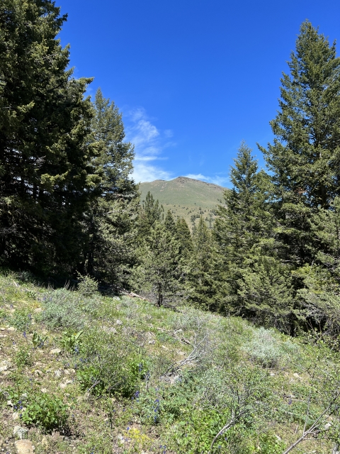
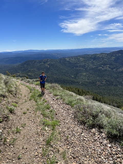
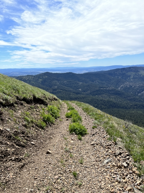
The road will go all the way to the summit. It’s totally drivable, however, it can be very narrow. After a mile or so, I would not recommend anything larger than a quad. The further up you go, especially above tree line, it’s narrow and nowhere to turn around.

The upper road near the summit is very narrow.
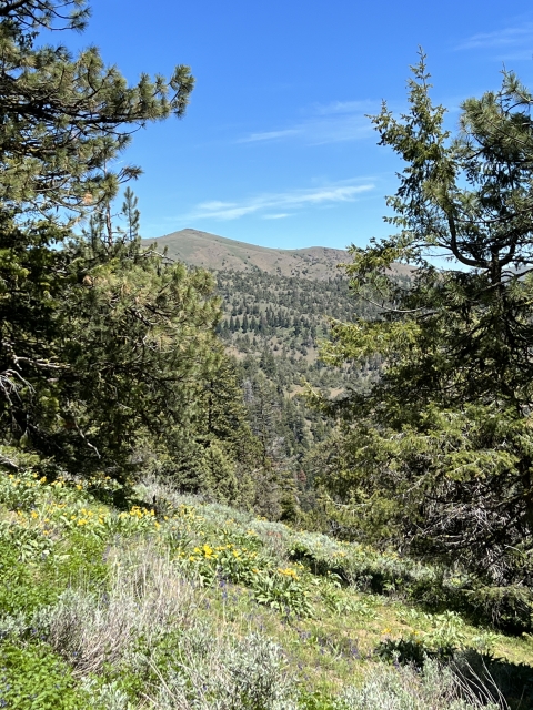
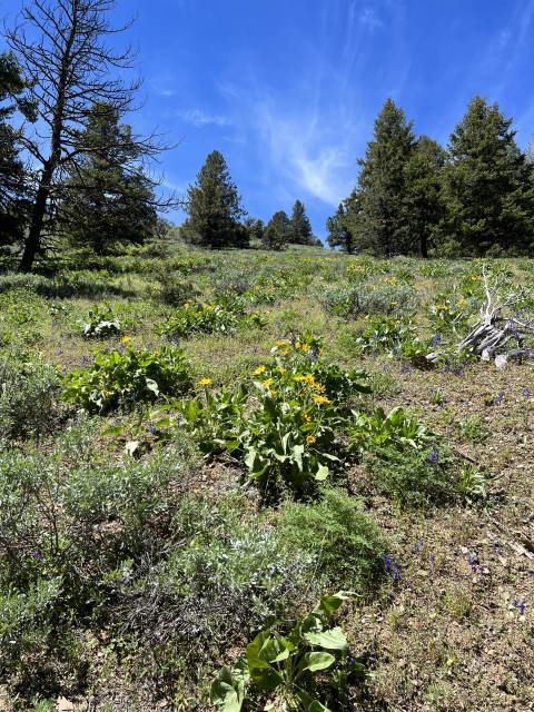
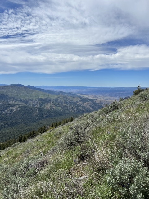
Hiking the road feels more like a trail as it stays in the pines and has massive views out to the southeast. Wildflowers were really popping in late June. The hike ascends about 1800 feet in 2.2 miles, so it’s a steady gain, although the walking never felt difficult.

The Summit
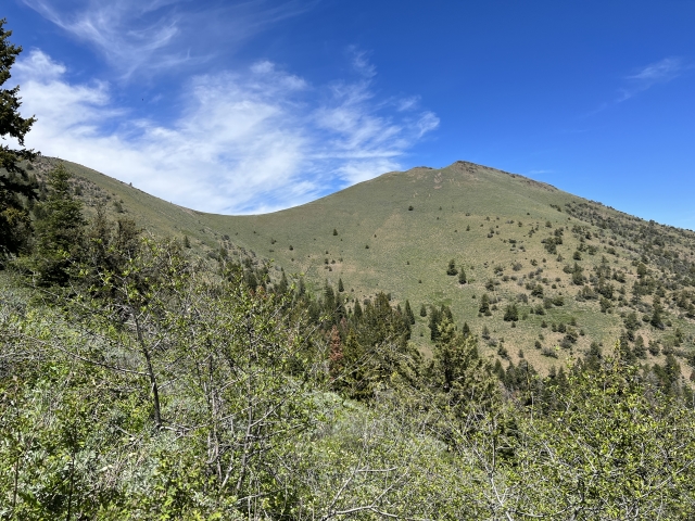
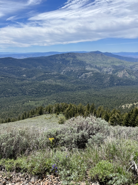
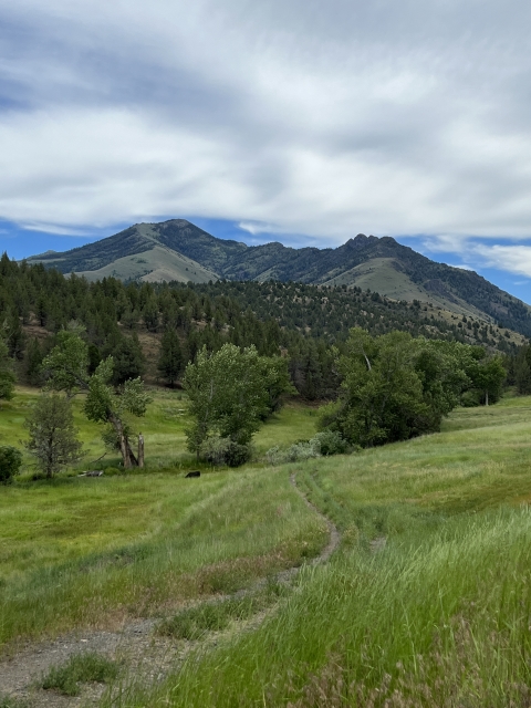
The summit area is very large and the views are expansive over the Blue Mountains and Malheur National Forest. Strawberry Mountain dominates the view to the east.

Strawberry Mountain
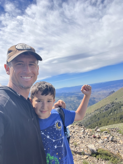
There’s a foundation from the old lookout and remains of an old trash pit with rusted cans and junk. Despite the junk, Fields Peak is an awesome mountain to summit!

Fields Peak summit
The Final Word
This peak only took us 2 hours up and back, so it can be done quickly. We did see a couple Razors back there, so this probably gets decent OHV traffic, however, it’s pretty darn secluded.
I was very happy with my decision to climb this peak as it’s a great area to spend some time away from the crowds of the Cascades!