Keynot Peak

Place Name: Inyo County
Place Description: State: California
Date: 06/15/2020
Elevation: 11,101 Feet
Prominence: 3,030 Feet
Miles: 16.6
Elevation Gain: 4,775 Feet
Lists: Sierra Club Desert Peaks Section, Desert Summits Book
-
Difficulty
-
Solitude
-
Kid Friendly
-
Summit Views
Torture, Physical Abuse, and Fun
Keynot Peak stands across the valley from Mt. Whitney and anchors the Inyo Mountains just east of Lone Pine. This mountain is the definition of ruggedness and will challenge even the most in-shape hikers physical and mental toughness.
Overall
3.8Pros
- Amazing terrain
- Pure solitude
- A sense of accimplishment
Cons
- No easy routes
- Arid, no water anywhere
- Awful terrain on west slope
When one travels to Lone Pine, CA, 98% of the people have one thing on their mind – Mount Whitney. Just to the east of town the mighty Inyo Mountains rise to the heavens with Keynot Peak and its 11,101-foot summit being the dominant fixture.
The Inyo Mountains are known for its mining history and ruggedness. There is nothing easy about this range and every mile is earned. Coming from the west, you will be hard pressed to find a steeper climb up a mountain range. There are a few routes to bag Keynot Peak, none of them are going to be any fun.
The Trip
This trip was a month in the making. I had hooked up with some fellow peak baggers and we had mapped a route that would take us 20 miles across the Inyo Crest. The main issue was the transport. From the south, we needed to get up a nasty OHV road called the Swansea-Cerro Gordo Rd. After watching videos on YouTube, none of us had the skills or vehicles to drive this trail, let alone doing it twice. I reached out to an Instagram buddy that leads a jeep club and they agreed to give us a ride to the Burgess Mine where we could all camp out at 9,800 feet and then start our hike to the north in the morning.

Start of Swansea-Cerro Gordo Rd.
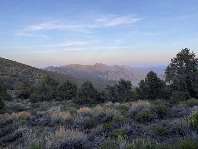
The campsite was 1 mile south of NY Butte which was our first target in the a.m. The camp out was fun. The site was fantastic with ample room for tents to be setup. The stars were bright and you could see the lights from Highway 395 over 5,000 feet below. The sunset over Mount Whitney was pretty as well.

Our jeep escorts.
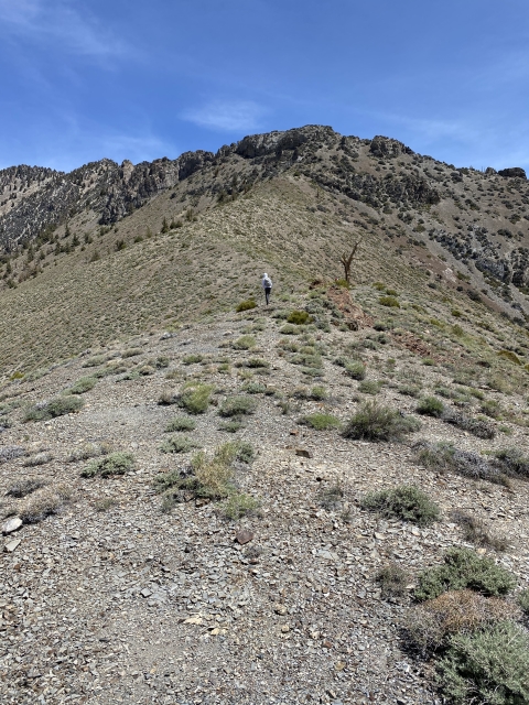
New York Butte
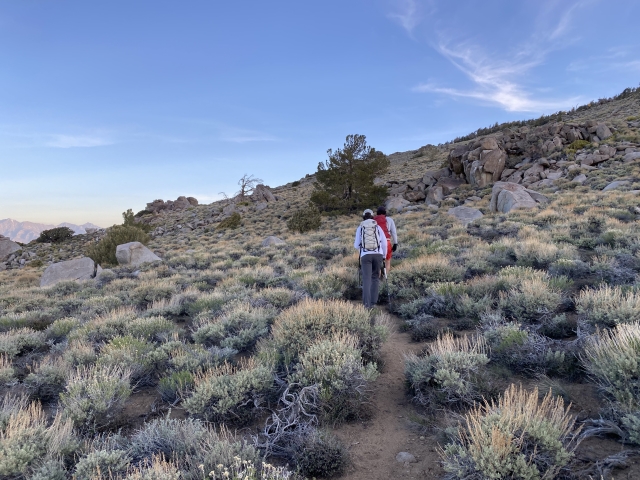
NY Butte was the first peak along the route. Most people that summit this mountain climb over 5,000 feet to the 10,668-foot summit. From the campsite, we passed a wilderness boundary sign and followed a very nice trail to the rocky summit. This area almost had the vibe of a Sierras hike. That would quickly change. We watched as the sun crested up in the east with the Saline Valley below. Deep canyons dropped right under our feet on the eastern side of the summit block. This summit was almost too easy. Almost like cheating. Everything was going to be earned after this.

On top New York Butte.
Voon Meng Leow Peak
After knocking off a couple of unnamed peaks, the next named mountain was Voon Meng Leow Peak which stands at 10,440 feet. By the time we got to this peak, we were making fantastic time. We had a great trail up until now and manageable terrain. This is about the time the day started going south, despite physically walking north.
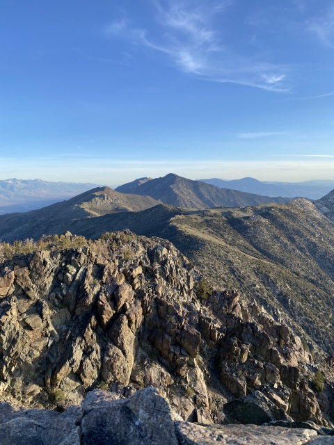
Keynot Peak
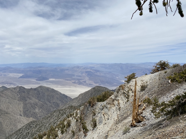
From Voon Meng, we had to descend all the way down to Forgotten Pass. This was going to be almost a 1,000 foot drop, just to have to gain it all back to get up Keynot. In fact, once at the pass, we had a 1,700-foot climb.

Keynot Peak from just above Forgotten Pass.
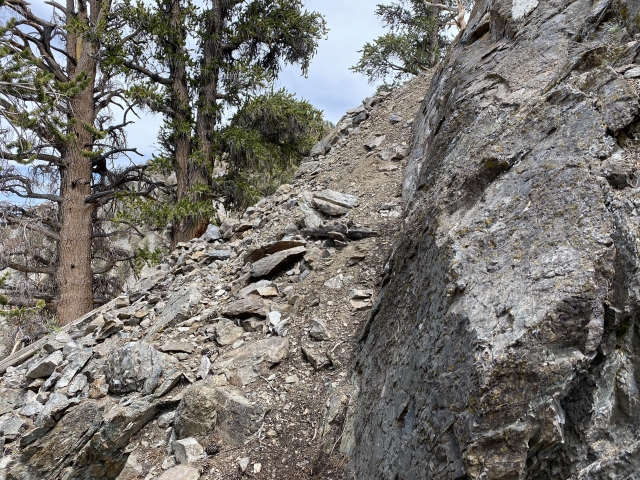
We stopped to study our maps and saved tracks. As we started climbing the south ridge of Keynot, we came to a junction. We had tracks that went around the east side as well as the west. I think all of our instincts were to go east, but a giant arrow made of rocks pointed to the west and a series of cairns could be seen. So we went along the west face.
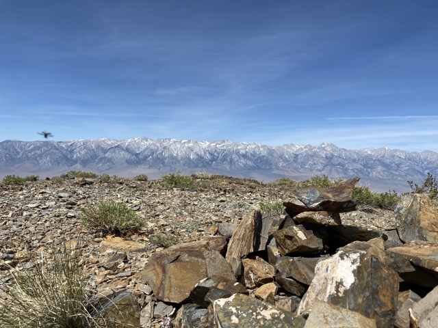
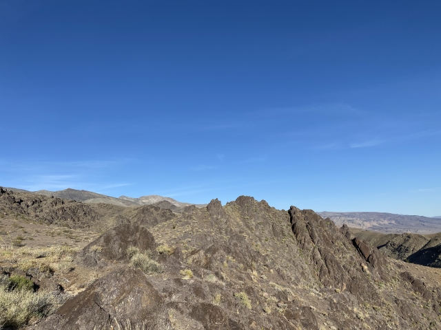
The cairns disappeared in short order and we found ourselves in some nasty, steep, class 3 scree. The entire mountain felt like it wanted to drag you down. Rocks were rolling everywhere and we had to be careful with each step. We kept trying to fight up to the ridgeline despite large rock formations blocking us off. Whenever we would get to the ridge, we’d quickly meet a giant piece of unclimbable rock. This would force us back into the scree. After scrambling through the scree for another hour, we were finally able to crest the ridge and walk on solid ground. From here we crossed to the east side and followed the ridge to the summit of Keynot after 3 hours. This one was earned!

On the summit of Keynot Peak.
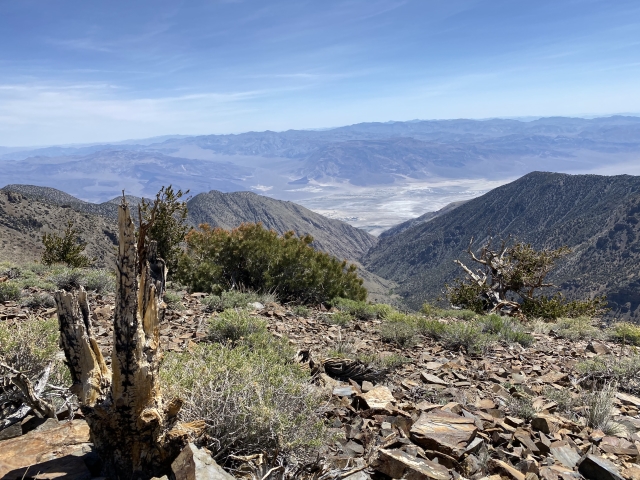
By now, we realized our original goal to across the crest wasn’t going to happen. Luckily our backup plan was to descend Union Wash, which is the standard route to hike Keynot.
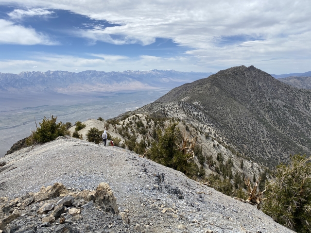
Mount Inyo
There is a decent trail going down the north ridge of Inyo. It’s steep in places but follows a cool backbone down to the saddle. From here, the rest of the group continued onto Mount Inyo. They would have to come back here to descend, so I rested. I was down to 16 ounces of water and tired. I would have loved to have bagged Mount Inyo, but another 1,000 foot climb was not in my body that day. Luckily I had good cell service to pass the time and plenty of F-18s flying around to keep me entertained. The guys returned a couple hours later and said that was some nasty terrain!
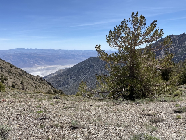
The Descent
The trip down Union Wash was fast. We still had roughly 4500 feet and 5 miles to descend back down to the 4×4 road in the valley. We really thought this would take 3 hours and put us coming out after the sun went down.
Fortunately, the descent was fast. Before we knew it, we had passed bed springs camp and were out of the trees onto large open slopes.

Bed Springs Camp
With the wash a couple thousand feet below still, we started to scree ski. We literally did this for 2,000 feet and was absolutely amazing. Every plunge we took, the rock carried us 5-10 feet and before we knew it, we were at the wash. It took us 1-1/2 hours to complete the descent!

Upper end of Union Wash.
An hour later, our ride showed up on the deserted road and rescued us from the desert heat. I had been without water for almost a couple hours at this point, the ice cold bottles never tasted so good.

Waiting for a ride at Union Wash.
The Final Word
What can I say, this was a brutal day in the Inyos and we still didn’t even complete what we had set out for. The terrain on Keynot was rougher than we could have expected and really kicked our asses. It was still an amazing day of hiking with great company. The Inyo Mountains are a special range and it gives you some perspective of what people had to be like 100 years ago when they tried to inhabit this area.
If you are interested in trying to replicate this hike, please feel free to contact me. This was a rough hike for me. I actually lost 4 pounds and felt the fatigue for almost a week. Be ready, but also be ready to be humbled!