North Schell Peak

Place Name: White Pine County
Place Description: State: Nevada
Date: 7/23/2022
Elevation: 11,883 Feet
Prominence: 5,403 Feet
Miles: 5.8
Elevation Gain: 2,871 Feet
Lists: Great Basin Peak List, Nevada Peaks Club, Las Vegas Mountaineer's Classic, Western States Climbers List
-
Difficulty
-
Solitude
-
Kid Friendly
-
Summit Views
The Monarch Of The High Schells
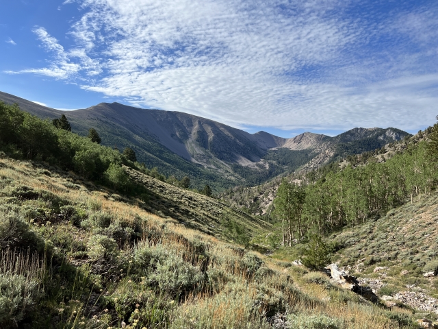
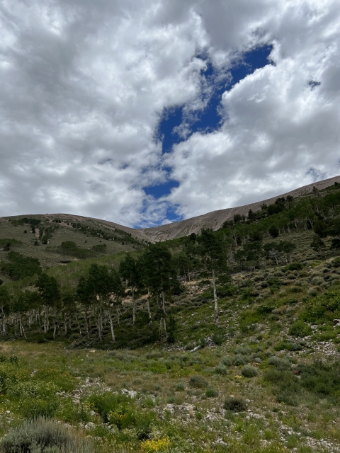
The Schell Creek Range in eastern Nevada is about as beautiful as it gets! The pine and aspen covered slopes leading up into the windswept summits of the High Schell is quite the scene. At, 11,883 feet and holding ultra prominent status, North Schell Peak is one that can’t be missed!
Overall
3.9Pros
- Good access road
- Easy terrain
- Amazing views
Cons
- Long drive from most urban areas
- Very exposed to the sun
- Thunderstorm potential
There is so much hidden beauty in Nevada, it’s not even funny. Another shining example is the Schell Creek Range north of Ely. Anchored by an ultra-prominent peak, North Schell Peak, this range rises to nearly 12,000.
Situated in the Humboldt National Forest and High Schells Wilderness, North Schell Peak is wonderfully steep and short hike that should be on every peak bagger’s radar.
Getting There
For a Nevada peak, this has one of the easier approaches. From Ely it’s only about 30 minutes. Follow US-93 north through the town of McGill and turn right on NV-486.
Follow NV-486 to the signed dirt road going off to the left. It is signed for Timber Creek Campground. This road is washboard dirt road that any car can drive down. It’s a tad bumpy, but nothing bad.
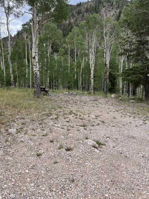
Continue through the campground where the road becomes more of a single lane with a few rocks in the roadbed. Moderate clearance is probably needed. This road goes up a short distance before ending at an unmarked trailhead sign with two nice campsites and lots of room to park.

Trailhead
The Trail
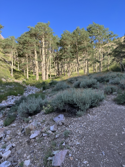
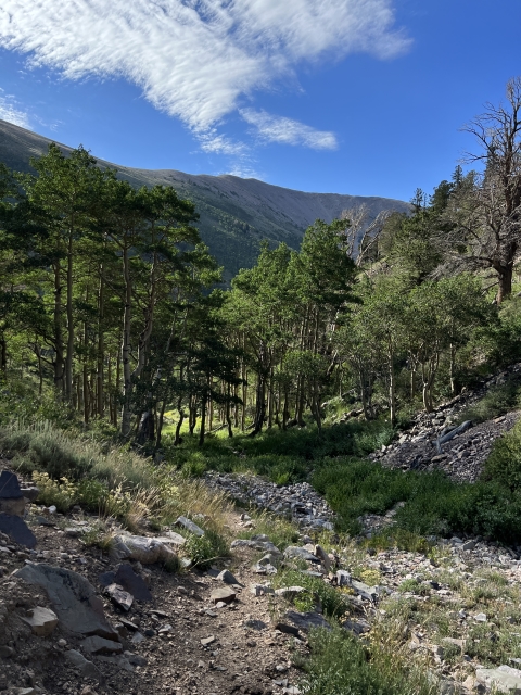
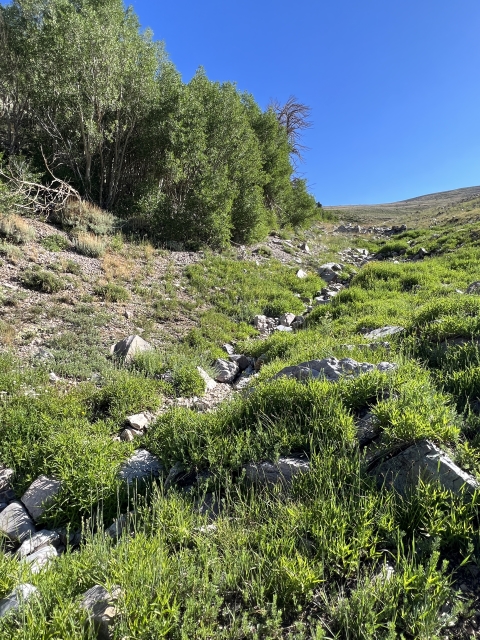
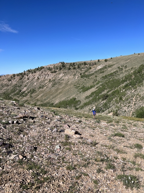
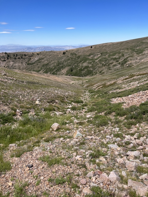
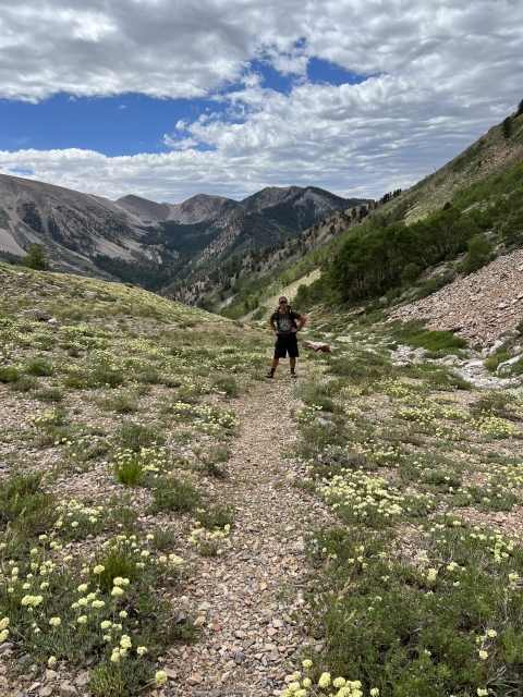
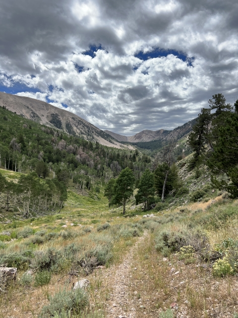
Surprisingly, there is a trail to start. At the end of the road just past the campground, a single-track trail follows Timber Creek through the aspens and up a drainage. Keep an eye out for Brook trout in the creek, or better yet, bring your rod and have a little extra fun!

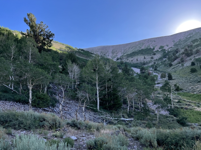
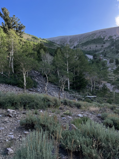
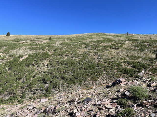
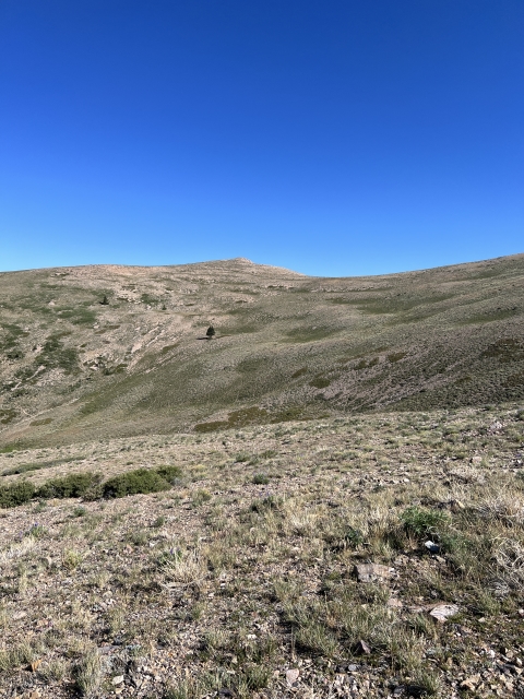
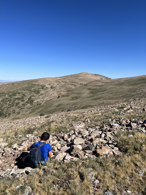
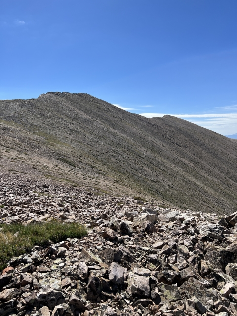
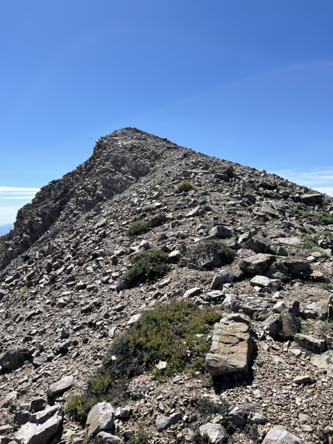
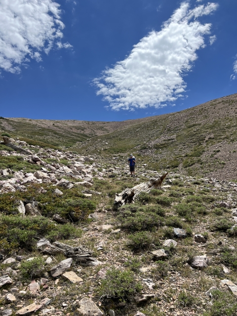
Continue up this trail for about 1.6 miles. It will eventually peter out around 10,500. At this point, you are above tree line and just need to climb the alpine terrain another 1,300 feet to the summit.

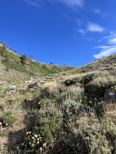
Comprised of grasses and mostly stable scree, the walking is fairly easy and despite the healthy grade, it never felt taxing.

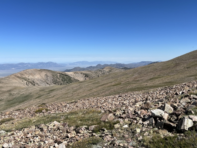
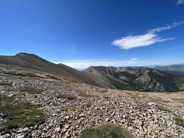
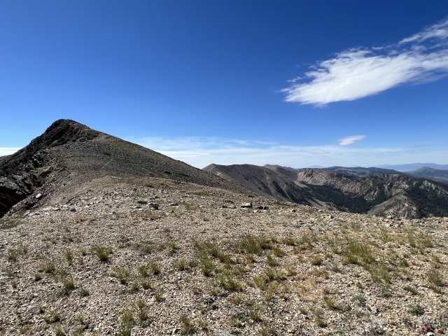
Into the alpine around 11,000 feet.
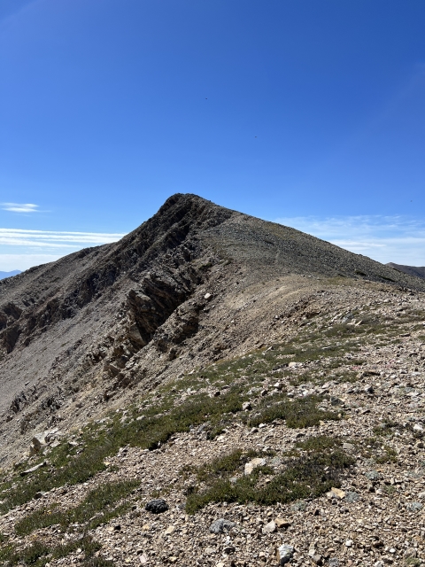
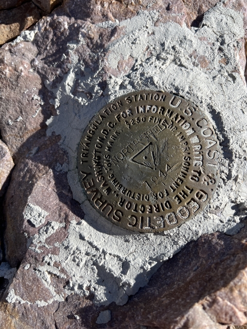
Once you crest onto the ridge, a little stone summit shelter comes into view and a use trail right up to the summit block.

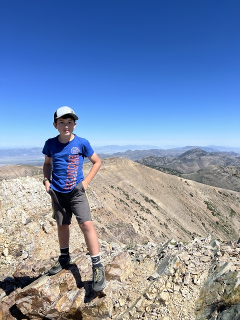
The Summit
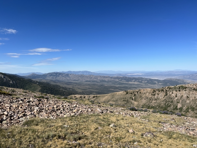
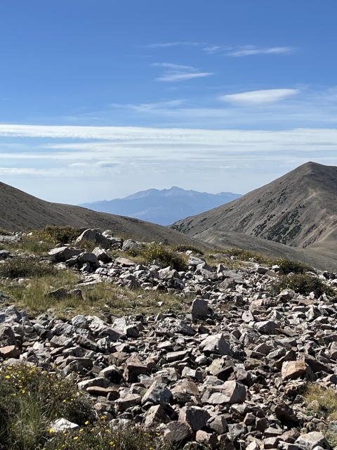
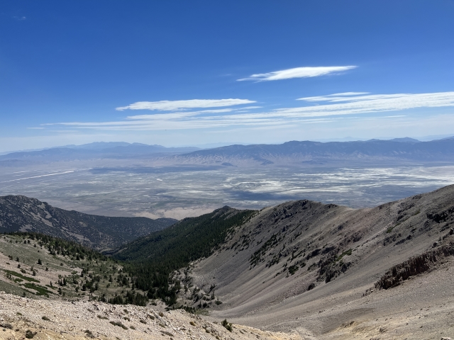
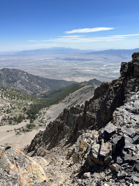
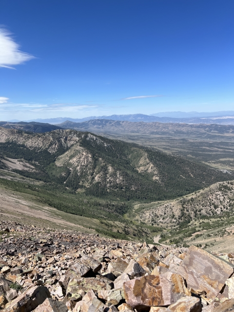
The views from the summit are quite good! To the east, Ibapah, Mount Moriah, and Wheeler Peak are all in site.

View towards Ibapah Peak
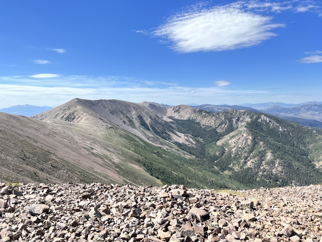
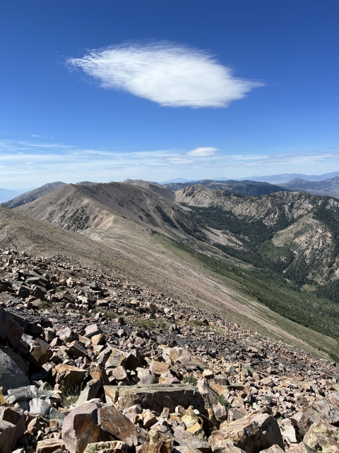
The view up and down the crest are very pretty. Traversing spit towards South Schell Peak looks extremely fun and something worthwhile if you had the time and car shuttle setup.

Unfortunately, the summit was covered is some kind of giant flies that absolutely swarmed us. They hung right at the summit and would not bug us when dropped 10 feet down to rest.
The Final Word
If you like Nevada Peaks, bagging ultras, and beautiful country, you will be hard pressed to find a better peak.
North Schell Peak is a quick and short hike, it’s under 6 miles round trip, however, it gains 2,800 feet in that short distance.

Timber Creek Campground looks like a wonderful place to hike up for the night, if not, Ely is only 30 minutes away.
Outside of hunting season, I don’t think this place gets a lot of visitors and it’s a great add on when heading to or from Great Basin National Park. Be sure to check it out!