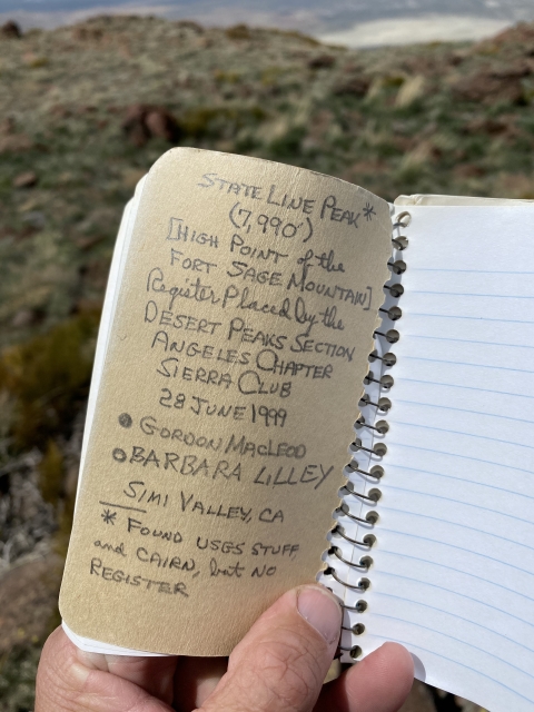
State Line Peak

Place Name: Washoe County
Place Description: State: Nevada
Date: 05/15/2020
Elevation: 7,990 Feet
Prominence: 2,690 Feet
Miles: 9.6
Elevation Gain: 3,478 Feet
Lists: Great Basin Peaks
-
Difficulty
-
Solitude
-
Kid Friendly
-
Summit Views
Another Great CA/NV Border Peak
State Line Peak lies in the Fort Sage Mountains straddling the California/Nevada border east of Highway 395. This desert oasis is full of beauty and life and seldom used.
Overall
3.1Pros
- Wildflowers and wildlife
- Dirt road is pretty easy to drive
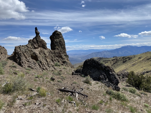
- Lots if cool and varying rock
Cons
- Radio tower on summit
- Ticks
- Would be a hot one in summer
Tucked away just east of Highway 395 and straddling California/Nevada border, the Fort Sage Mountains serve as a desert oasis for the adventure seekers. The high point of this range is State Line Peak, which sits about a mile into Nevada and offers awesome views. I first noticed State Line Peak on the Great Basin Peaks List and after seeing it in person from Petersen Mountain, knew I had to get up there soon.
Dirt Road Approach
The access to the area comes from Doyle, CA, a small town about 45 miles north of Reno. After exiting the highway, we connected with Homestead Ranch Rd. and followed it to an unsigned road on the left. Homestead Ranch is well graded and passable for any vehicle. The upper road starts to get sandy very quickly and steepens after a mile or so. We parked around the 4,900 foot mark on knob where another OHV road connects. There is parking further up about 1.8 miles and 1,200 feet higher. We decided to walk this stretch.

Looking back where I parked. In hind sight, I could have driven much further.

The road narrows, but is still very drivable.
After reaching the upper parking area, I realized that my Tacoma would have had no issues getting there. The road continues on and gets extremely steep and rocky. No need to drive this since you will be leaving it to go cross country.
Cross Country Hiking
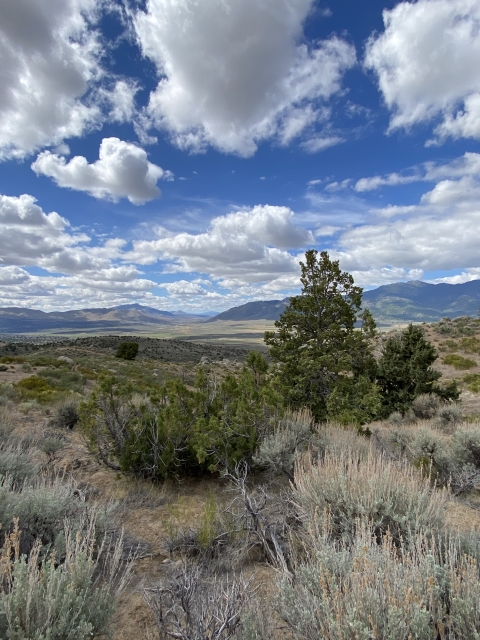
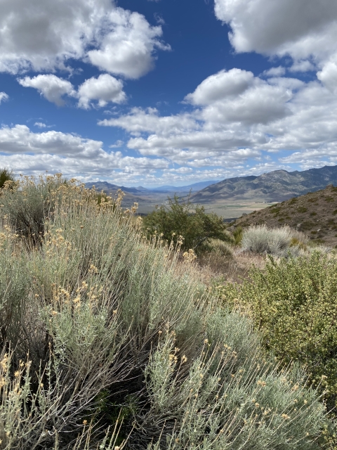
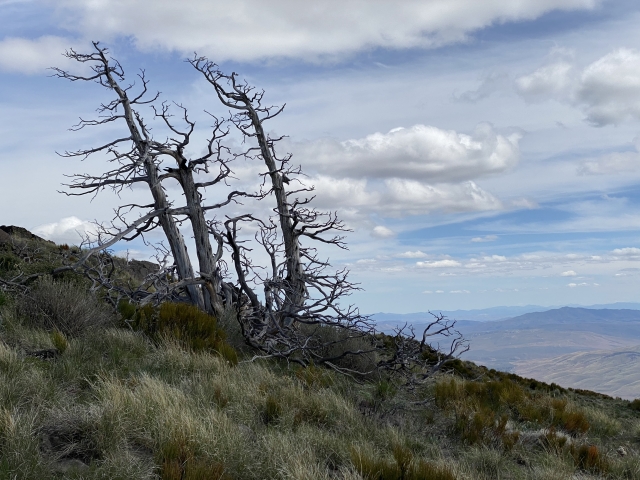
Once departing the road, the country is very big and beautiful. There’s an abundance of wildflowers in the spring and thousands of crickets. We made our way through the tall grass until the vegetation started to open up above a large valley with the peak in the distance. In order to maintain elevation, we skirted around the valley to the right and picked up some nice game trails that made for easy walking.

Around here, we cut off the road and went cross country.
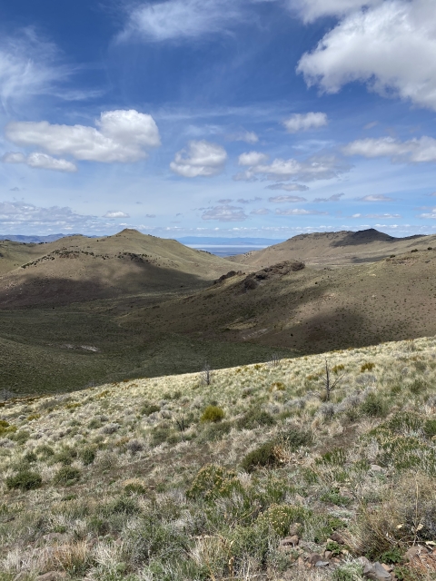
After a small climb through some cool rock outcroppings, we popped out into a small flat valley below the peak. As soon as we crested, to antelope bucks jumped up. One ran off quickly, while the other stopped and started snorting at us. Always cool to see speedgoats!

State Line Peak can now be seen fully.
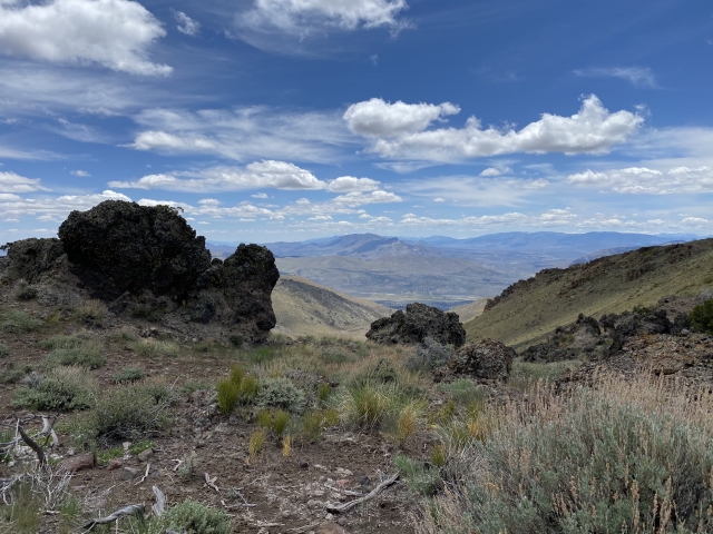
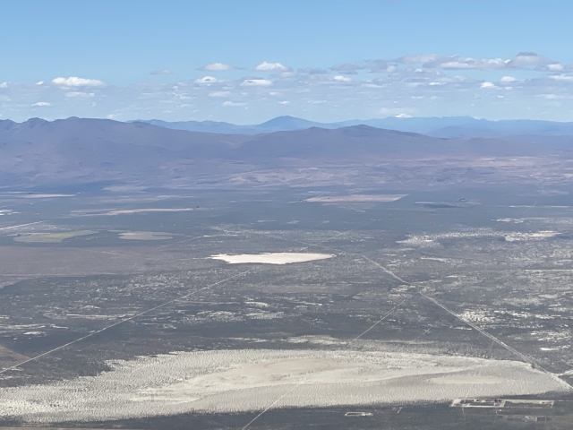
We started the climb up crossing many game trails, unfortunately they all went alongside the mountain side instead of up. After passing a false summit, we could start to see the communication towers on top. Too bad these eyesores are up there to detract from amazing views. Honey Lake was full and dominated the views to the north. A small piece of Pyramid Lake also came into view.

Honey Lake
While we were enjoying the summit, we found three ticks crawling on us. So stay vigilant!
The Final Word
After all was said and done, we hiked 9.5 miles and almost 3,500 feet of gain. If you drive the rest of the way up, you can turn this into a 6-mile and 2,300 foot hike. The area is very desolate. In fact, all we saw the entire day was four F-18 Hornets that buzzed a few hundred feet overhead in the range and a Polaris driving in the valley below.
This is big country and there is no water available, so be prepared. Overall, I really enjoyed this hike (minus the ticks) and would recommend it to anyone in the area when the weather is right.