Goosenest

Place Name: Siskiyou County
Place Description: State: California
Date: 06/21/2022
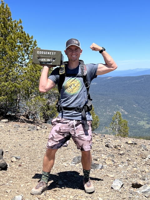
Elevation: 8,280 Feet
Prominence: 3,160 Feet
Miles: 3.7
Elevation Gain: 931 Feet
Lists: California P2K
-
Difficulty
-
Solitude
-
Kid Friendly
-
Summit Views
An Ancient Volcano
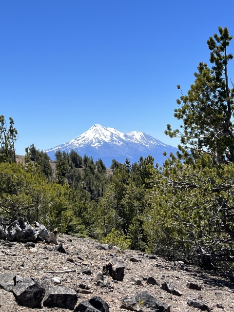
It’s always fun to climb a volcano and lesser known one is Goosenest. It sits north of the giant Mount Shasta and is definitely overlooked by hikers in the region. Even though it is accessed from US-97, it’s much more visible and intriguing from Interstate 5. There is a wonderfully maintained trail to the summit and the views of Shasta area amazing!
Overall
3.4Pros
- Good access road
- Great views
- Kid friendly
Cons
- Long dirt approach
- Summit views slightly obstructed by trees
- Could be hot in summer
Lurking in the shadows of the majestic Mount Shasta, Goosenest, is a worthy volcano in its own right.
This ancient volcano sits north of Shasta and has a very large presence when driving along I-5 in the Yreka area. With over 3,000 feet of prominence, Goosenest is no slouch and should not be overlooked!
Getting There
Getting to Goosenest is pretty straight forward. From Highway 97 heading north, it will be a left hand turn onto Miller Mountain Rd (45N22). This turn is at the crest of a summit on the road and in a passing lane. It’s kind of a dangerous turn.
From here, it’s all dirt road driving. Just under 3 miles in, there will be a split, hang right here as the left turn goes to the Herd Mountain Fire Lookout.
A couple miles later, there will be another left-hand turn. This road is marking by a sign stating there is a Trail head 6.5 miles ahead. Follow this road to the trail head. It’s actually only 4 miles.

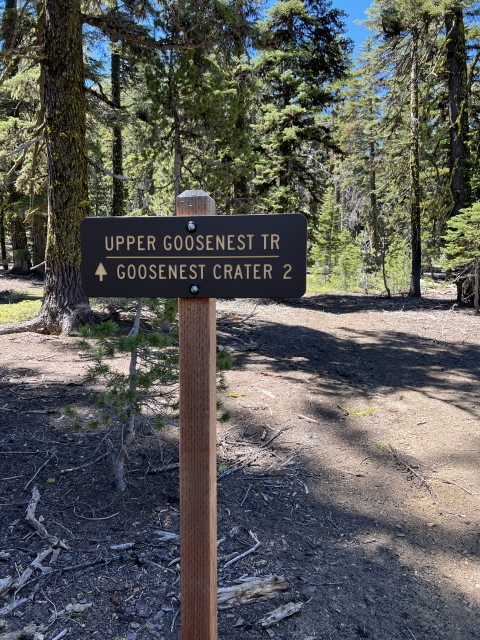
Start of Goosenest Trail.
All of these roads are in great shape. The roads require no high clearance and they are fairly smooth for what they are. I was going 30mph in places.
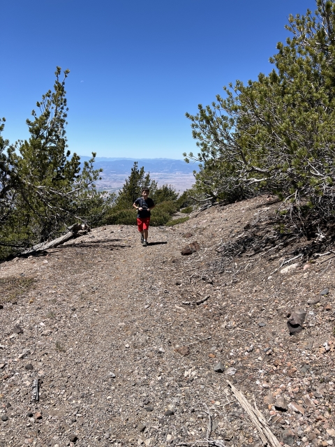
The Trail
Surprisingly, there is an official Goosenest Trail Head that recieves maintenance from the Klamath National Forest.
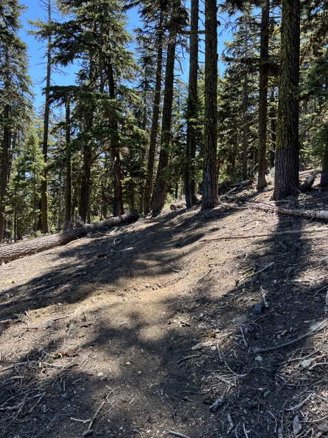
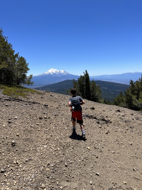
From the parking area, the trail gently climbs up the steep slopes of Goosenest. Using a series of long switchbacks, the gain never feels intense.

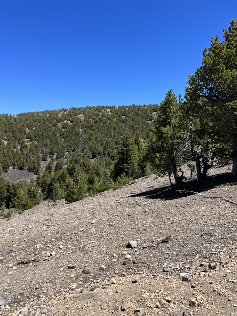
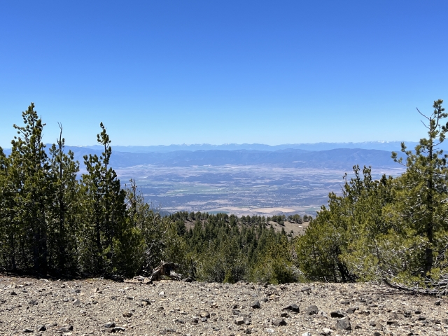
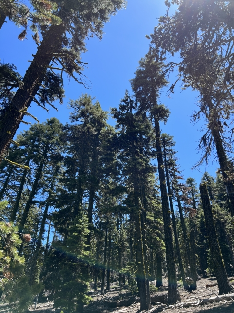
The trail works its way through an open old growth forest and offers some sporadic views until reaching the crater rim.

Goosenest Crater
The Summit
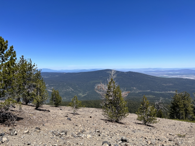
Even though the trail pops out on the western side of the crater, the summit lies directly across. You can walk in either direction. Either way, the views of Shasta are phenomenal and you will be making a full circle anyway. Mount McLoughlin is visible to the north.


Willow Creek Mountain and Mount McLoughlin
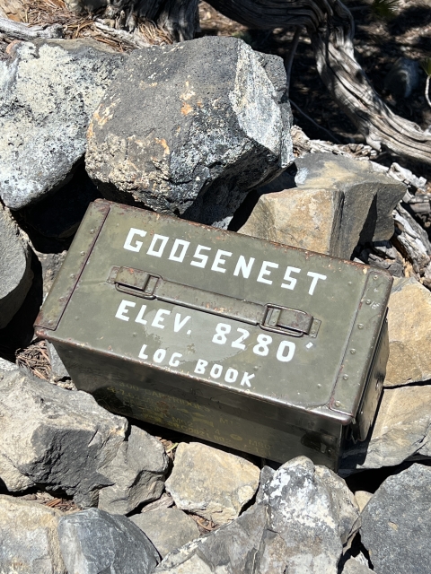
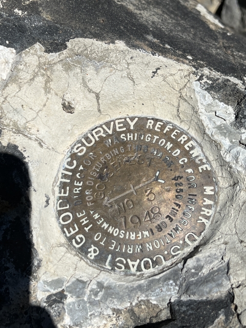
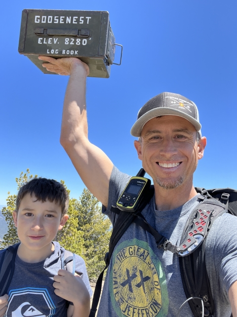
The summit area adorns a benchmark and summit register. From this spot, there trees that obstruct a lot of your viewing, however, it’s still an enjoyable spot.

The Final Word
This is a quick hike that can be combined with many other peaks in the vicinity. We had considered doing a couple more, however, we decided to visit Lava Beds National Monument afterwards.
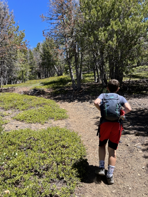
Goosenest is a very kid and dog friendly trail and you will likely have it to yourself.