Bonanza Peak

Place Name: Clark County
Place Description: State: Nevada
Date: 11/15/2021
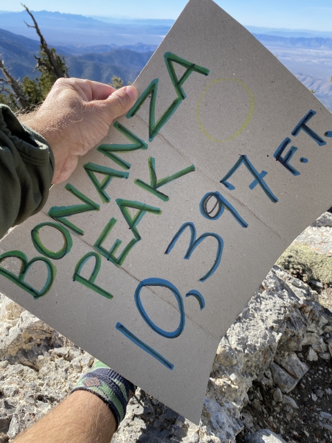
Elevation: 10,397 Feet
Prominence: 833 Feet
Miles: 9.3
Elevation Gain: 2,996 Feet
Lists: Desert Summits Book Peak List, Great Basin Peak List
-
Difficulty
-
Solitude
-
Kid Friendly
-
Summit Views
A Less Crowded Option In The Spring Mountains
When you think of hiking in the Las Vegas area, Mount Charleston is the first peak you think about, along with everyone else. If you are looking for a bit more solitude, drive a bit further north and take on Bonanza Peak, the 5th highest in the range.
Overall
3.5Pros
- Great solitude
- Nice trail
- Beautiful country and wildlife
Cons
- Last 2 miles of road is bumpy
- Further from Vegas
- Summit views aren’t 360-degree
It’s a peak bonanza! The Spring Mountains north of Las Vegas is home to some awesome wilderness, the Mount Charleston Wilderness. On the northern end of the range, Bonanza Peak stands over 10,000 feet and is the 5th highest in the range.
Even though the peak has a trail, it is much less traveled than the other major trails that start out of Kyle Canyon.
Getting There
The Bonanza Trail is just outside of the town of Cold Creek, NV. Never heard of it? Me neither. This small private community is off the grid and run by solar. Even though it lies about 50 minutes north of Las Vegas, it’s worlds away.

Cold Creek, NV
To get here, take US-95 north and drive past the Desert Wildlife Refuge until you see the sign for Cold Creek Rd. Make a left here and drive between the two prisons.
The road is paved and leads through Joshua Trees until you reach the town. Next, the road turns to dirt for the final two miles. This road is very bumpy. There is no need for 4WD, however, clearance is needed in multiple spots.

Dirt road for last two miles.
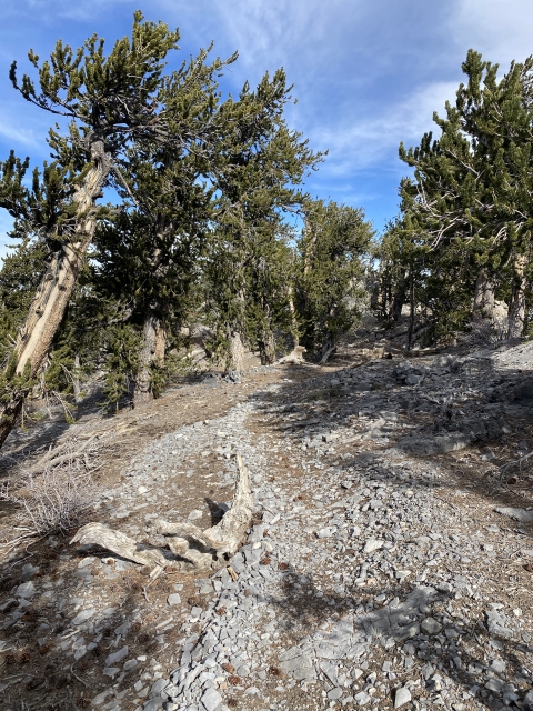
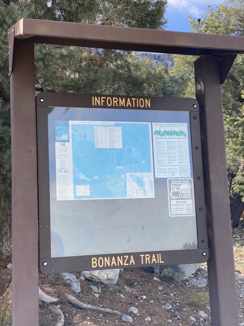
The Trail
Hiking on the Bonanza Peak Trail is easy. The trail is highly maintained and simple to follow. From the get go, you are in the shade which would be nice on a warmer day.
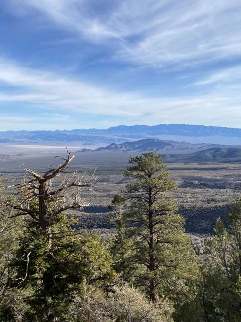
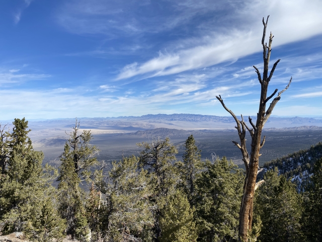
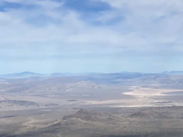
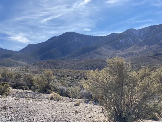
As the trail climbs, the views towards Hayford Peak, Mount Irish, and Bald Mountain in the Area 51 become visible.

View towards the Sheep Range and Hayford Peak.
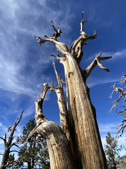
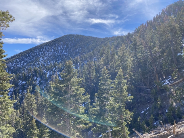
If you like switchbacks, this is the trail for you It has a plenty of switchbacks to ease the gain as you climb to the saddle around 9,800 feet. The terrain changes from desert, to pine forest, to bristlecones on the upper trail.
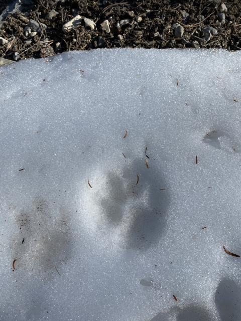
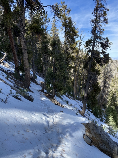
On my visit, there was some icy snow on the northeast side of the peak, although once on the ridge, the snow was gone.

Snow along the trail.
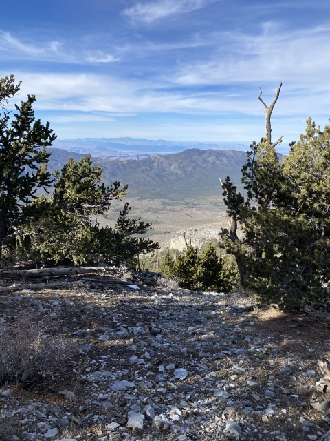
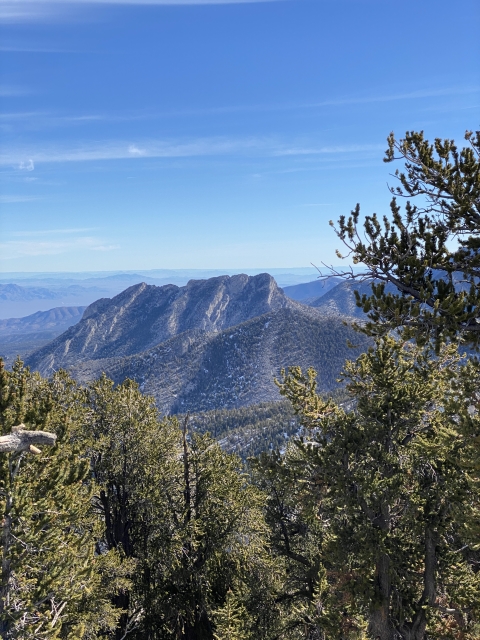
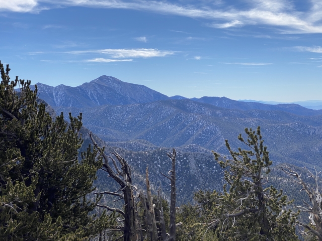
After cresting the ridge, views open up to the west taking in Telescope Peak, Kingston Peak, San Gorgonio Mountain and all the way to the Sierras.

Views towards the Sierras.
Next up, make a left and follow the trail towards the summit. Keep following the trail up until you see a large rock cairn. This is where you will break off to the summit.
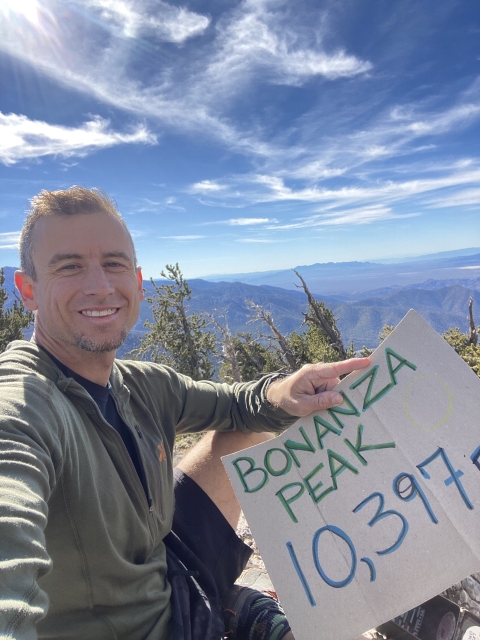
The Summit
Technically there is no official trail to the summit. Regardless, a couple of unofficial trails lined with cairns lead to the high point.
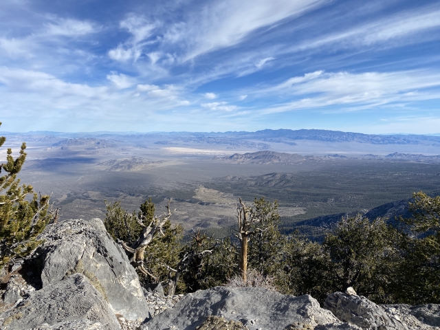
The Bonanza Peak summit has great views towards Charleston Peak and the southwest. Although being high up, other directions are hindered by tree cover.

While you take in the views, make sure to sign into the summit register and get ready to start the way back down.
The Final Word
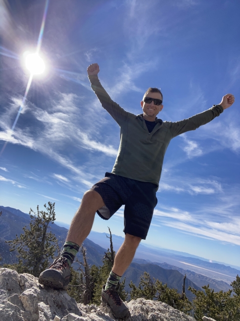
This is a fantastic trail. If you are into peak bagging or hiking, taking this trail is time well spent. You will not regret this.
Even though I didn’t see any, there is a large herd of elk in this area. In fact, this is the only herd of elk in Southern Nevada. There is also a large herd of wild horses in the area. While I found horse poop at nearly 10,000 feet in elevation, I did not see any until the drive out.
If you are in Vegas and want a great hike that isn’t going to be as busy as the Kyle Canyon area, this is the hike for you. I enjoyed it a lot!


 and Sheep Peak (R).")