Desatoya Peak

Place Name: Churchill County
Place Description: State: Nevada
Date: 05/16/2022
Elevation: 9,973 Feet
Prominence: 3,545 Feet
Miles: 8.2
Elevation Gain: 3,047 Feet
Lists: Great Basin Peaks List, NV County HP, Nevada Peaks Club, Nevada P2K
-
Difficulty
-
Solitude
-
Kid Friendly
-
Summit Views
Welcome To God's Country
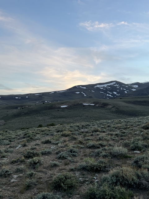
The Desatoya Mountains are a beautiful range located in central Nevada. They can only be described as being God’s Country. A visit to the high point of Churchill County on the summit of Desatoya Peak is something that needs to be on every peak bagger’s list!
Overall
3.5Pros
- Good access road
- Great views
- Lots of peace and quiet
Cons
- Could see some traffic on weekends
- Couple of steep road sections
- Long way to access
Nevada is loaded with hidden gems if you know where to look, the Desatoya Peak in the Desatoya Mountains is one of these gems.
Towering over the Highway 50 area are the Desatoya Twins, with the south summit Desatoya Peak being the high point of Churchill County at 9,973 feet.
Getting There
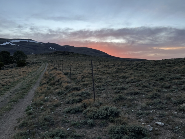
Access to the Desatoya Mountains comes from US-50. Around 70 miles east of Fallon, the dirt Old Overland Rd. heads south.
A road that follows the route that the Pony Express once used leads into the forested mountains along a creek bank.
This road is rocky in spots, however, a moderate clearance vehicle should be able to make it to Basque Summit.

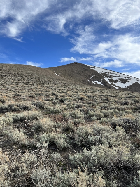
Road to Desatoya Peak
Once at Basque Summit, cross through two gates and turn onto Smith Creek Ranch Rd for a short bit and then turn right onto a two track.
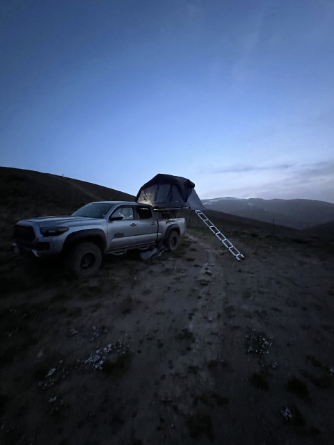
Pass the rusted out truck and drive to a large hill that would require a 4×4 to get up. If you are confident, drive up the hill and follow the road to over 9,000 feet. If not, this is a great place to park and camp.

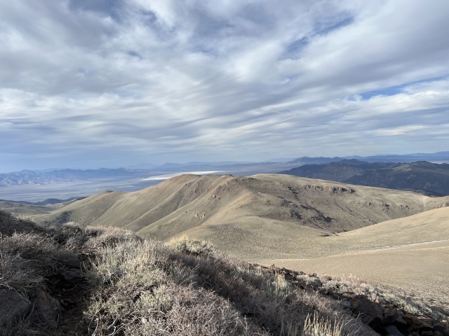
Large hill where we started walking from.
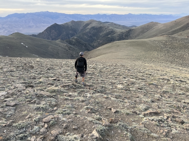
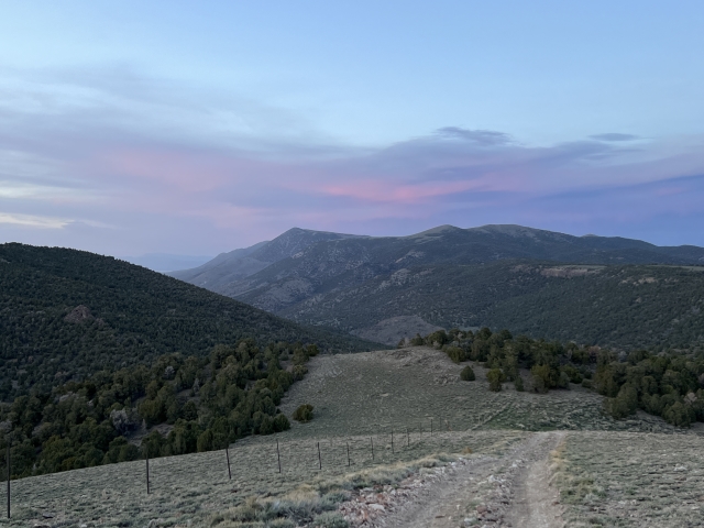
The Trail
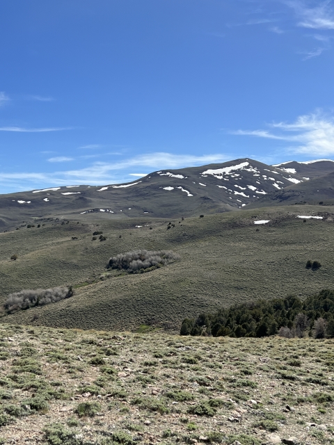
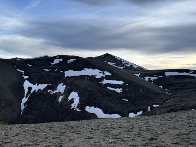
For the most part, the trail is the road. After that large hill, the country is absolutely beautiful. The only way to describe is by calling it God’s Country. The green slopes and patches of trees rise up towards twins.

Keep hiking towards the 9,000 foot mark where the road climbs a very steep hill. From here there is a use trail that cuts underneath Point 9568. However, following the road will take you to the top of the point. It makes for a nice loop.
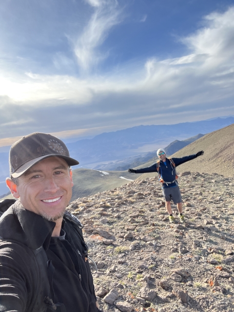
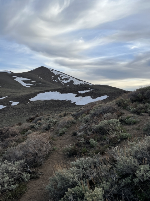
First up is the North Twin which is about 8 feet lower than the high point. Climb to the top, sign the register and then walk across the saddle.

Desatoya Peak
The Summit
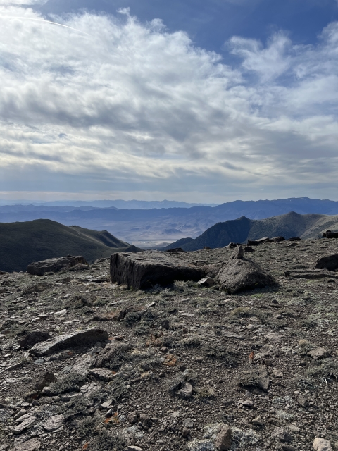
Once you cross the saddle and stand on the high point, you are officially on the high point of Churchill County.

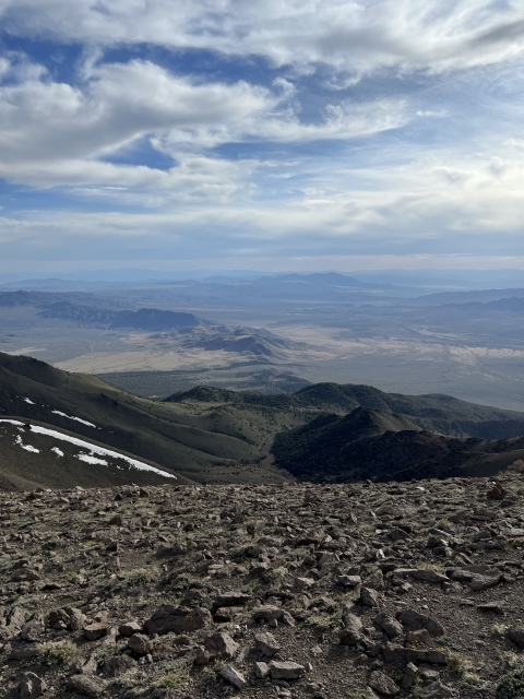
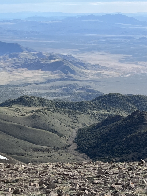
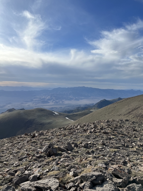
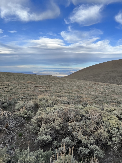
The views up here are quite nice and extend across the valley to Mount Augusta and Fairview Peak. The Toiyabes also make an appearance to the east.
The Final Word
The Desatoya Mountains are absolutely beautiful. I know I said that before, however, it’s very true!
As far as Nevada ranges go, the Desatoyas do receive more visitors than other ranges in the state. There is a large network of dirt roads and that attract OHV crowds and the terrain is perfect for big game hunting in the fall. Not to mention, as a county high point, it will bring more peak baggers than nearby summits. This peak is also on the Great Basin Peaks List.
If you find yourself in Central Nevada or need a day trip idea from Reno, the Desatoyas might be exactly what you are looking for.