Deseret Peak

Place Name: Tooele County
Place Description: State: Utah
Date: 08/12/2022
Elevation: 11,031 Feet
Prominence: 5,812 Feet
Miles: 8.6
Elevation Gain: 3,580 Feet
Lists: Great Basin Peak List, Utah County HP, Ultras of the Lower 48
-
Difficulty
-
Solitude
-
Kid Friendly
-
Summit Views
Another Awesome Utah Ultra
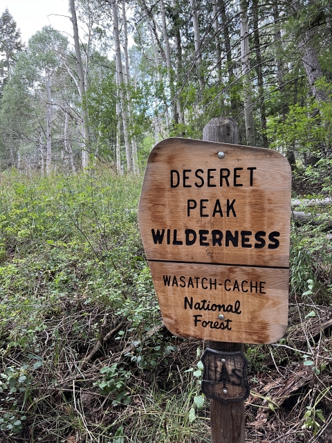
Deseret Peak is an ultra and county high point in NW Utah that anchors the Stansbury Range and Deseret Peak Wilderness. The Great Salt Lake is totally visible from the summit as well as most of the Wasatch Range to the east.
Overall
3.1Pros
- Good access road
- Great views
- Nice trail and campground
Cons
- Trail is washed out
- Flash flood potential
- Would be hot in summer
Deseret Peak is by far and away the dominant mountain along Interstate 80 as you cross the Salt Flats and inch closer towards the Salt Lake Area. With over 5,000 feet of prominence, Deseret Peak is one only 57 peaks in the lower 48 to achieve this status.
At 11,031 feet, Deseret Peak is the high point in the Stansbury Mountains, even getting a wilderness named after it.
Getting There
Deseret Peak lies just about an hour west of Salt Lake City and with campgrounds and nice access road, sees its fair share of visitors.
Most people will access this area through the town of Grantsville, which is just west of the larger town of Tooele.
From interstate-80, head into Grantsville on UT-138. Drive through town and turn onto West St. following out of town. Then turn right on Willow Canyon Rd.
This road will turn to dirt and lead all the way to the campground and parking area. There are a couple narrow spots on the road and signs warning of flash flood danger. Other than that, any car could drive to the trail head.

The Trail
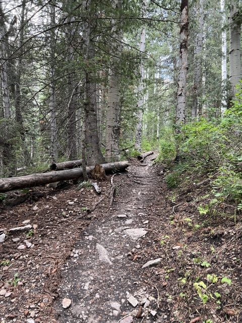
Deseret Peak has a well-maintained trail all the way to the summit. In fact, you can hike this as an out and back or a loop.
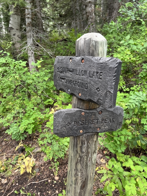
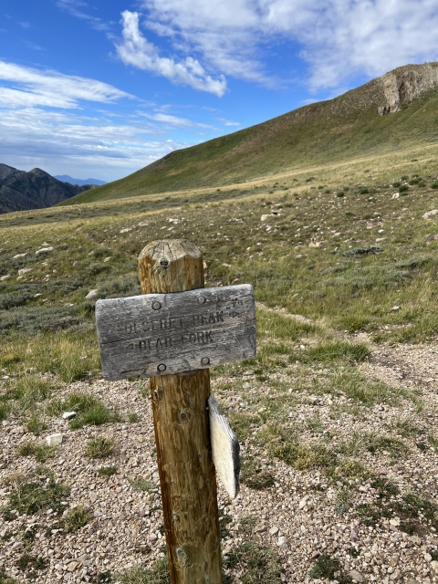
The out and back seems to be the shorter and more popular option. There is an unsigned junction, and you will be going left here and crossing the creek.
Shortly after, a signed junction will appear, one way heading to the peak and the other to Willow Lake.

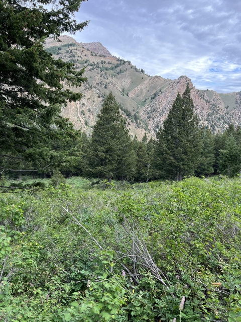
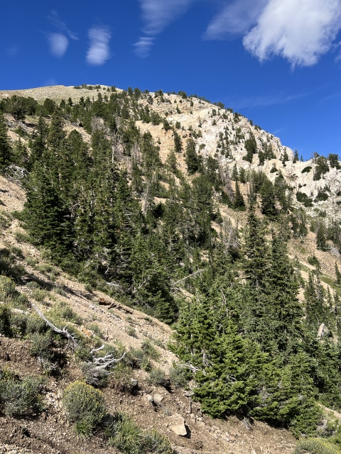
On our trip, the trail was heavily washed out in many places from a monsoon storm. The trail leads through pines and aspens before cutting into a large basin.

Hiking up the basin.
It leads upwards through the basin using switchbacks. Even though the trail moved back and forth, you will still feel the steepness.
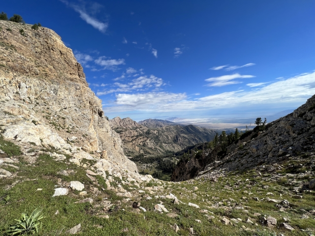
As of August 2022, this is the area with lots of damage sometimes it’s hard to see where the trail emerges from the washed-out sections.

Washed out trail.
Keep climbing all the way to the saddle where there is a 4-way trail junction. Follow this to the right to continue towards the summit.

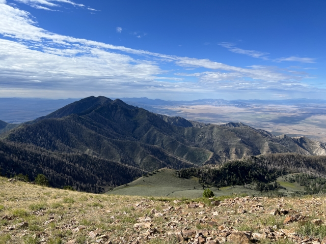
Fortunately, the damage was done at this point and it’s a nice trail walk all the way to the rocky summit. The views to the south are amazing on this stretch extending out to Swasey Peak, Ibapah Peak, and Wheeler Peak.
The Summit
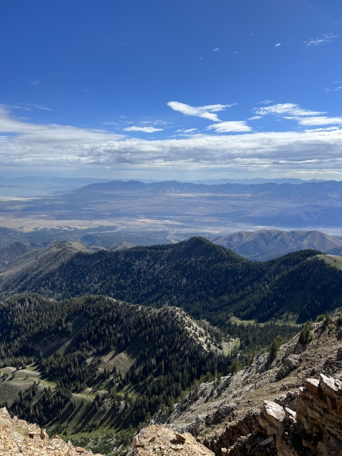
Desert Peak has a large summit area and crazy big views. From this lofty perch you can the Salt Lake, Mount Timpanogos and all the way down to Mount Nebo.

Stansbury Island and Salt Lake
Flat Top Mountain and Lewiston Peak in the Oquirhh Mountains lie just across the valley to the east.
There’s a summit register and wind shelter on the summit as well.

The Final Word
If you are looking to get after a really big peak and want to change things up from the Wasatch Range, Deseret Peak is the one for you.
There is a nice, albeit steep trail. It’s gains 3,500 feet in 4 miles, so it will be a challenge.
The views are amazing. There are wildflowers and plenty of deer to be seen. Also, a nice campground at the trail head.
Utah is a special place and Deseret Peak is another special place in a long line of special places!