San Joaquin Mountain

Place Name: Mono County
Place Description: State: California
Date: 08/30/2021
Elevation: 11,549 Feet
Prominence: 1,674 Feet
Miles: 7.5
Elevation Gain: 2,431 Feet
Lists: Sierra Clubs Peaks Section, Western States Climbers, Wilderness High Point, Vagmarken
-
Difficulty
-
Solitude
-
Kid Friendly
-
Summit Views
A Fun & Easy Ridge Walk
San Joaquin Mountain is the high point in the Owens River Headwaters Wilderness and is reached by walking a long class 1 ridgeline to its summit. The hike is very easy and a great trail for beginners, offering exceptional views of the Ritter Range and Ansel Adams Wilderness.
Overall
3.3Pros
- Very nice trail
- Nice views
- Chance to bag some bonus peaks
Cons
- Long road walk without 4×4
- Exposed to sun
- Possible OHV traffic on weekends
With all of the recreational opportunities in the Mammoth Lakes and June Lake area, it’s very easy to overlook places.
One of those places is San Joaquin Mountain. This 11,549 foot peak lies along the Vagmarken Crest just across from the beautiful Ritter Range.
Unlike its technical neighbors across the way, San Joaquin Mountain is an easy ridge walk with amazing views.
Getting There
From Mammoth Lakes, head past Mammoth Mountain Ski Resort and up to Minaret Vista. Just before reaching the entrance gate to Devils Postpile, turn right onto a signed Forest road.
If you don’t have 4×4, you will need to park at the Minaret Vista Parking Lot and start your hike there.
With 4×4, you can drive this road to the very end at the top of Peak 10242. This road is about 2 miles long and has a rough spot less than a 1/2 mile in. With some creative driving, I was able to get around this spot and continue on.

Part of the road.
There are a few rocky spots, however, the road is mostly smooth all the way to the end.

Parked on Peak 10242
The Hike
The hike starts at the summit of Peak 10242 and immediately drops about 250 feet into Deadman Pass before climbing up the other side.

Start of the trail at Deadman Pass.
There is a nice and well worn trail all the way to the summit. Following along you will go over one other minor bump before making it to another peak called Two Teats around 3 miles in.

On Two Teats.
Two Teats is also a Vagmarken List peak and has two summits. The west summit requires a short class 3 scramble. The higher and official peak sits at the edge of a cliff and is an easy walk up.

Looking back to the Two Teats.
After tagging Two Teats, the route to San Joaquin Mountain is completely laid out before you about 3/4 of a mile away.

San Joaquin Mountain summit comes into view.
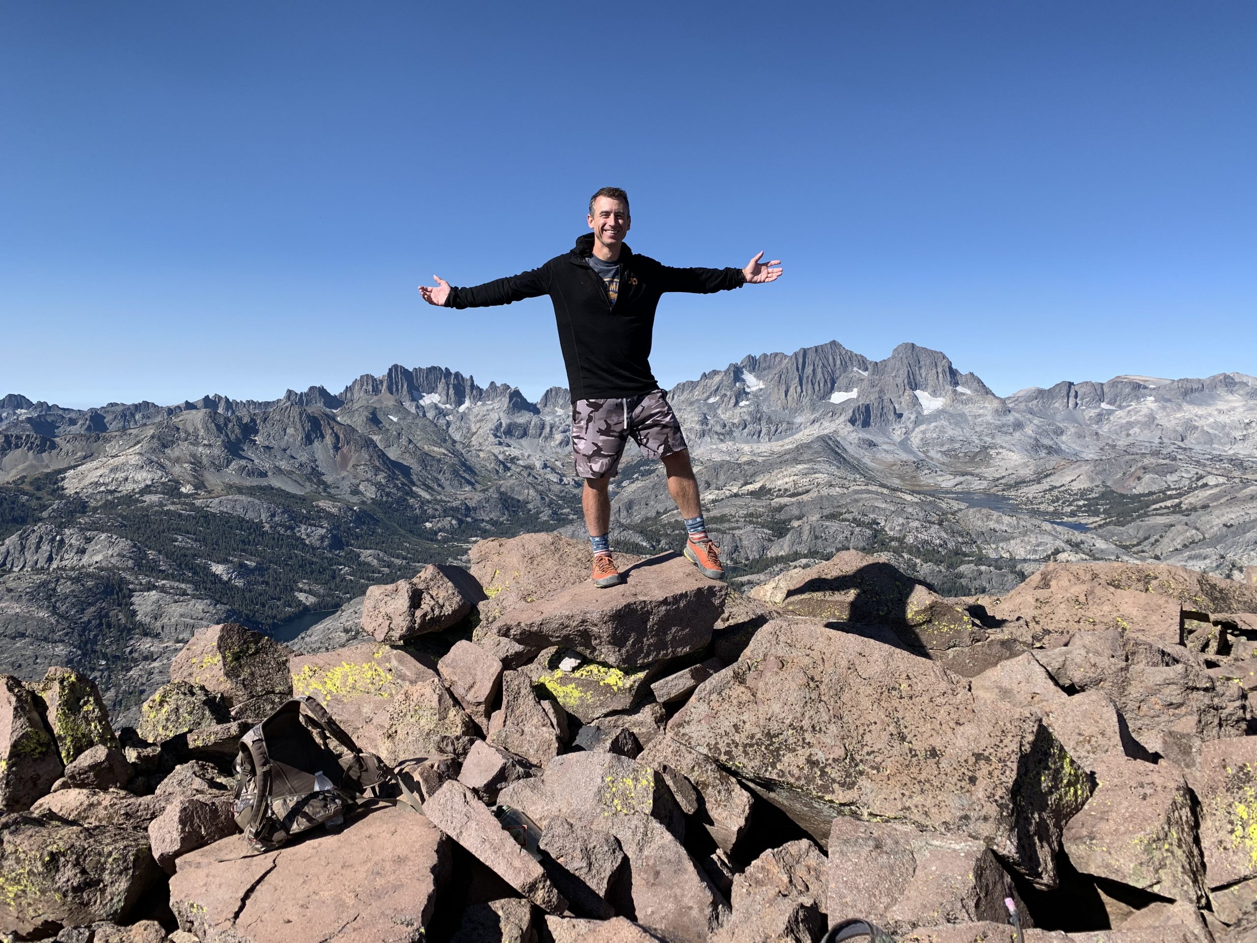
The Summit
The final ridge walk has a couple rocky spots, although they never exceed a class 1 hike. Follow the trail to the summit and soak in some amazing views.
The Minarets, Banner, And Ritter sit straight across from the summit and look beautiful. Below those peaks are multiple lakes that dot the Ansel Adams Wilderness.

The Ritter Range

Views into the Ansel Adams Wilderness.
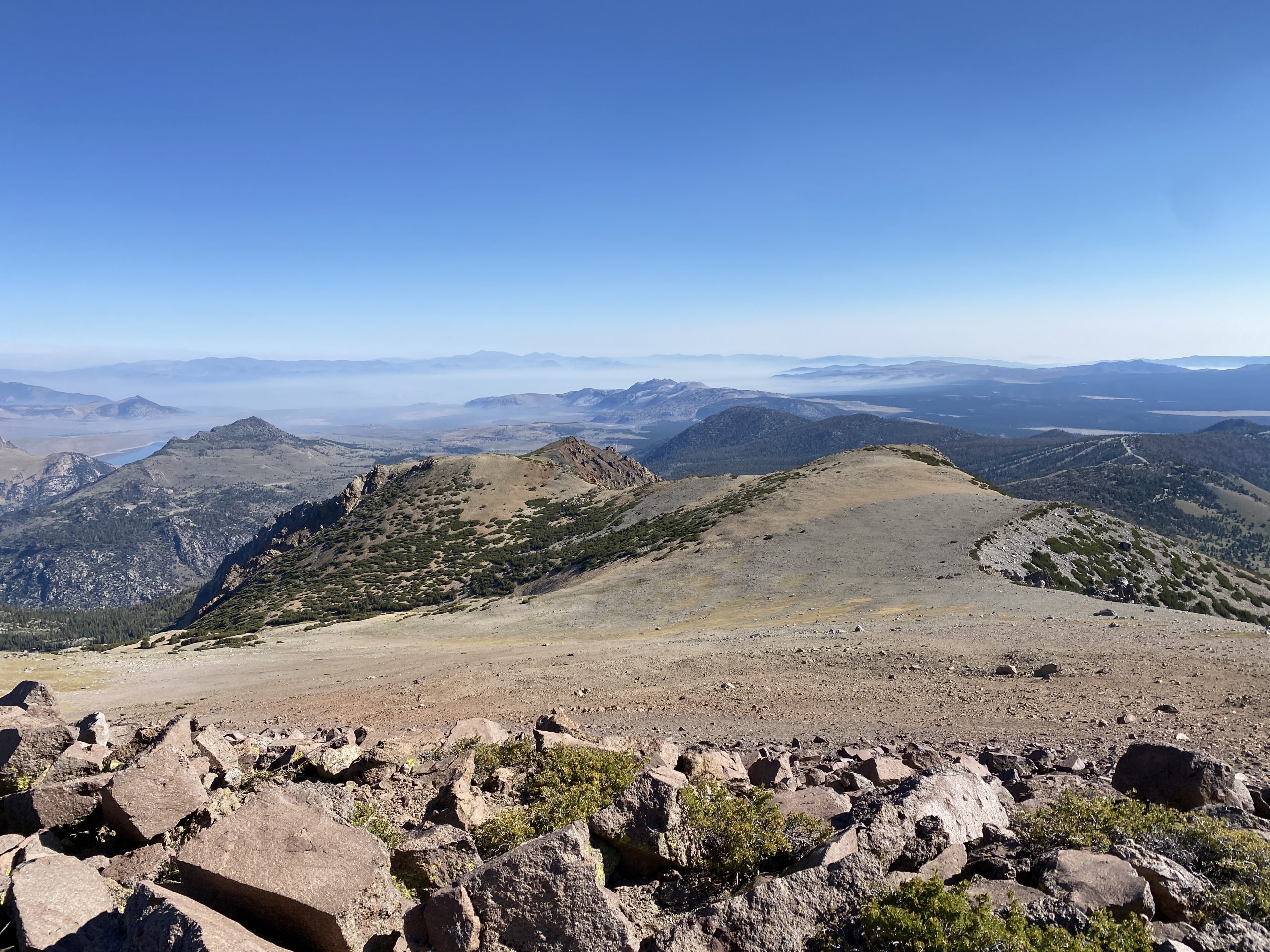
Looking the other way, the June Lake area is close by and beyond that, Mono Lake and the Sweetwater Range with Mount Patterson in view. Mount Grant in Nevada is also in sight.

Views to to the northeast towards Reversed Peak and Mono Lake.
The return trip was simple. Just follow the way you came.
The Final Word
San Joaquin Mountain is a hidden gem and the high point of a little known wilderness called the Owens River Headwaters Wilderness.

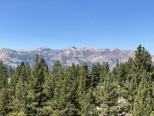
White Wing Mountain from San Joaquin Mountain.
This hike is very easy, however, without a 4×4, you will need to hike an extra 2 miles each way making this a much longer outing.
If you are chasing multiple peak lists, San Joaquin Mountain sits on many major ones making it a must have summit!