Tryon Peak

Place Name: Alpine County
Place Description: State: California
Date: 10/15/2022
Elevation: 9,970 Feet
Prominence: 610 Feet
Miles: 12.8
Elevation Gain: 2,818 Feet
Lists: None
-
Difficulty
-
Solitude
-
Kid Friendly
-
Summit Views
Another Gem On Ebbett's Pass
Hundreds of people hike within a 1/4 mile of this summit along the PCT every year, yet less than 10 per year actually climb on up. Tryon Peak is one of those peaks that gets easily overlooked even though the views at the top are worth every effort to get there!
Overall
3Pros
- Good trail access
- Spectacular views
- Nice solitude
Cons
- Short cross country to top
- PCT can be busy
- Very exposed to elements
Ebbett’s Pass always feels like a forgotten area of the Sierras. Even though this may not actually be the case, there are still some great peaks to climb in the area. For instance, Tryon Peak is one!
At 9,970 feet, Tryon Peak isn’t the largest in the area, however, what it lacks in size it makes up in fun.
Getting There
Tryon Peak has two different starting areas. Either Highland Lakes or the PCT crossing at the top of Ebbett’s Pass.

Ebbett’s Pass and parking area.
This report details the start from Ebbett’s Pass. To get here, follow Highway 4 up to the top of the pass and use the parking area next to the road. The PCT crosses the road a short walk to the east.
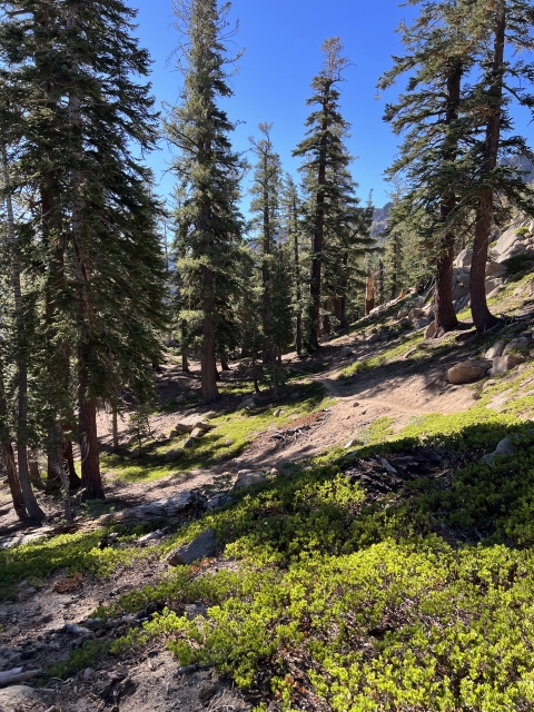
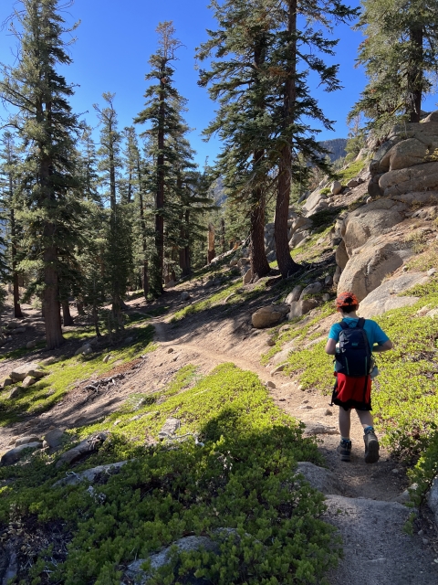
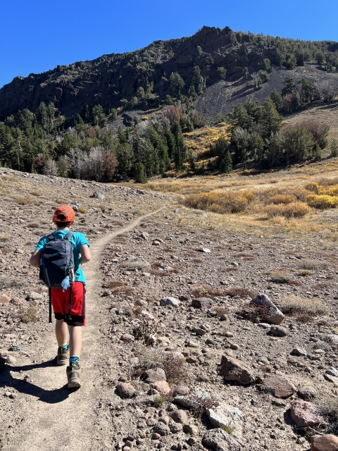
The Trail
Two different routes are available from this trailhead. There is an off-trail ridge walk cute the distance in half. However, the main route is using the PCT.
Follow the PCT to the south as it descends for a while before climbing out of a drainage and climbing up to Noble Lake.

Noble Lake
Keep hiking past Noble Lake to the obvious saddle that is left of the peak.
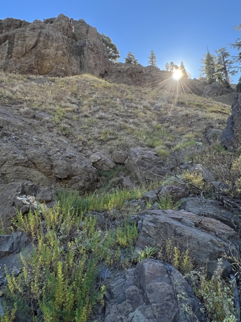
The PCT climbs above Noble Lake and meets a fence line at the saddle overlooking the Carson-Iceberg Wilderness.

Fence line at the saddle. Break off trail here.
Fortunately, it’s time to break off trail to the right. Climb the shoulder of the mountain up through some light talus and avoid the bushwhacking by staying right.

Route to the summit from the saddle.
Sporadic use trails pop up and you too out into an open forest with stunted trees. Keep walking through the trees until you can see the open talus pile ahead of you.

Summit area comes into view.
The Summit
As you walk past the final tree, the summit is in plain view and so made up of talus. A slight use trail leads to the summit plateau and multiple large rock cairns.

Final climb to the summit
The true summit is on the northern end of the plateau near the large wind shelter built out of stones. Someone really took their time piling rocks on this summit!
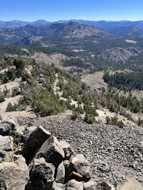
The views are fantastic looking north towards Carson Pass. Highland and Silver Peaks are just across the way.

Silver Peak and Highland Peak.
Hiram Peak, Airola Peak, and Arnot Peak sit to the southwest near Highland Lakes.

Tryon Peak views to Highland Lakes.
Further south is Sonora Peak and Leavitt Peak.

Summit views to the south. Sonora Peak, Stanislaus Peak, Leavitt Peak, and Arnot Peak (foreground).
The return is easy going the same way you came or down the ridge line.
The Final Word
Tryon Peak may not be the most known peak; however, it’s makes for a nice and easy day hike out of Ebbett’s Pass. This is a nice hike to combine with nearby Ebbett’s Peak.

Ebbett’s Peak
Ebbett’s Pass is one of those special places that needs to be explored more in depth!


.")