Silver Peak SW Summit

Place Name: Alpine County
Place Description: State: California
Date: 07/13/2022
Elevation: 10,772 feet
Prominence: 132 Feet
Miles: 15.5
Elevation Gain: 4,512 Feet
Lists: Tahoe Ogul
-
Difficulty
-
Solitude
-
Kid Friendly
-
Summit Views
Ebbett's Pass Big Boys
When it comes to peaks, the two big boys of Ebbett’s Pass are Highland Peak and Silver Peak. They rise high above Noble Canyon and anchor the Carson Iceberg Wilderness. Tagging both summits in a day requires ample planning, route finding and good old-fashioned grinding
Overall
3.5Pros
- Trail to Noble Lake
- Use trail to Highland
- Easy class 2 summit
Cons
- Rugged country
- Good route finding a must
- Big day to tag both
If you were to look at Silver Peak from Ebbett’s Pass, one will wonder who in the heck would want to climb that?!
Silver Peak looks like an absolute monster from this vantage point. Even though it is lower than Highland Peak right next door, the latter summit isn’t as visible. The Tahoe Ogul Listed peak is the Silver Peak SW Summit.

Silver Peak from Highway 4
Getting There
While there are multiple routes to the summits of Silver Peak and Highland Peak, this report will reflect on my outing which involves the use of two cars.
If tackling Highland Peak by itself, the best trail head is along the PCT at the top of Ebbett’s Pass. Just park in the area across from the Ebbett’s Pass sign. This will also work for bagging Silver Peak as well.
For those wanting to start at a much lower trail head, the Noble Canyon Trail can be used.
This area can also be used as the return route If using a second car.
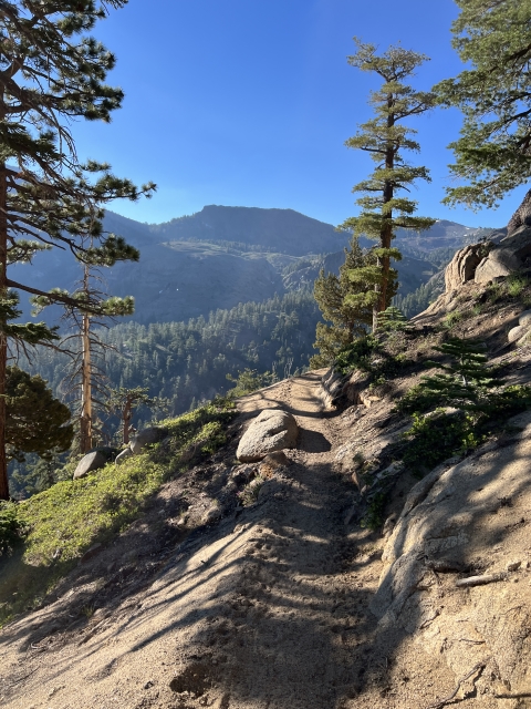
The Trail
Using the PCT is very easy. The trail does a lot of downhill and can be cruised on. Eventually it will start climbing out of a drainage.

PCT
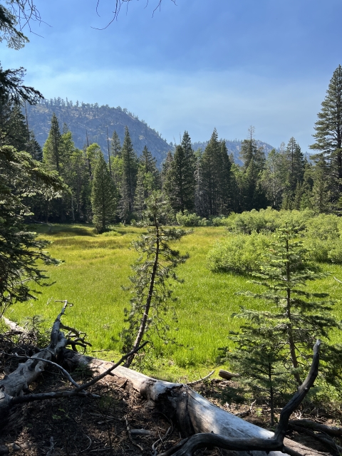
Next up is Noble Lake. Once you reach the lake, you will break off to the left and pass a tarn with an amazing view of Raymond Peak.

Noble Lake

Tarn above Noble Lake with Raymond Peak.
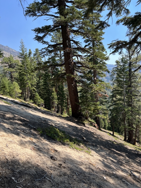
Continuing cross country around some rocky outcrops, soon you will locate a steep use trail that climbs up towards Highland Peak
The trail is easy to follow and reaches the high point of Highland Peak.

Highland Peak route

Ridge to Highland Peak
Highland Peak
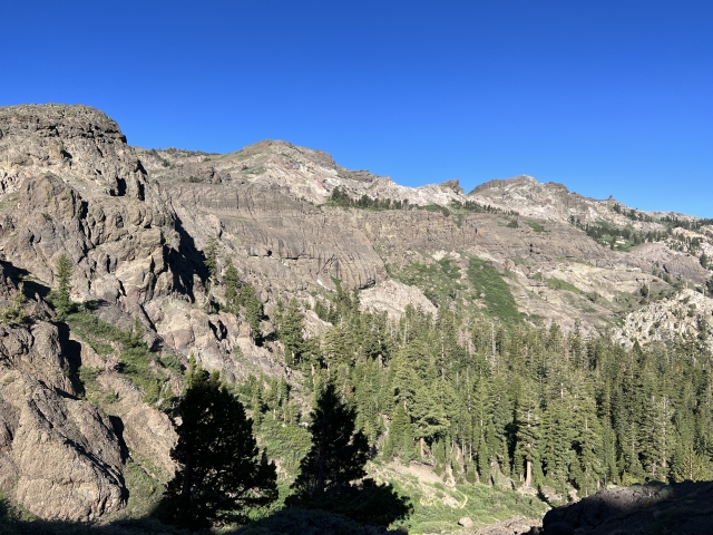
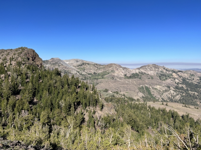
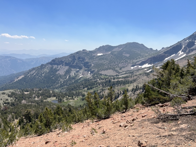
This high summit offers amazing views of the surrounding area. All the way from the Desolation Wilderness in the north all the way down towards Sonora Pass in the south.

Raymond Peak and Reynolds Peak are prominent across Ebbett’s Pass and other peaks like Round Top and Mokelumne Peak are visible.
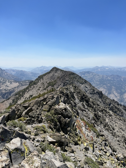
Highland Peak to Silver Peak
This next section dropping off Highland to the saddle is probably the toughest of the day. It’s steep, loose, and scrambly. There is some class 2/3 along the ridge. Working to the left seemed to be the best.

Highland Peak descent
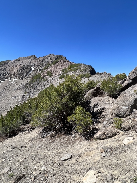
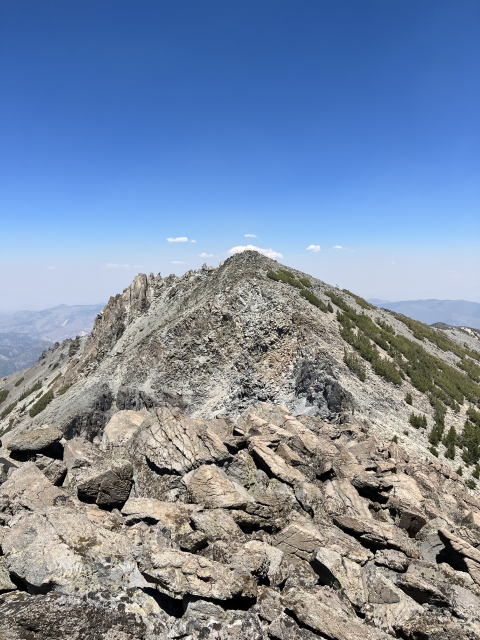
After the reaching the saddle, the climb goes into class 2 territory. The rocks are steep; however, they are straight forward.

At the saddle

Climbing class 2 up Silver Peak
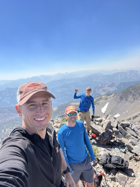
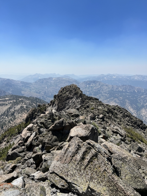
Silver Peak
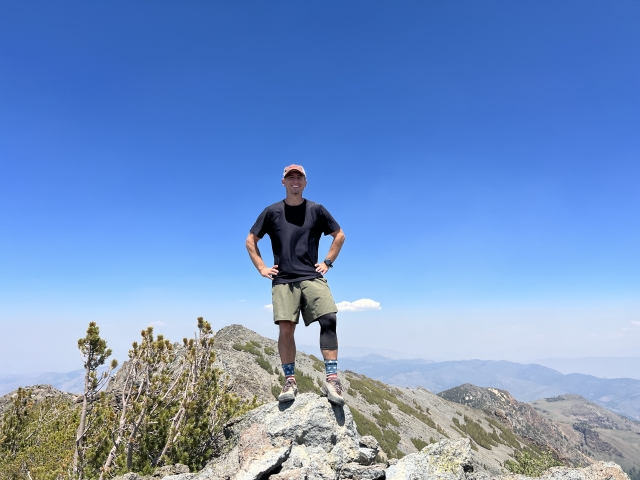
There are two summits to Silver Peak. The first one is lower is the southwest summit and it slightly lower. This summit is listed on the Tahoe Ogul Peak List.
Once you have bagged this, head over a short distance to the higher northeast summit. A lot of climbers skip this one, however, the extra effort to get there is minimal.

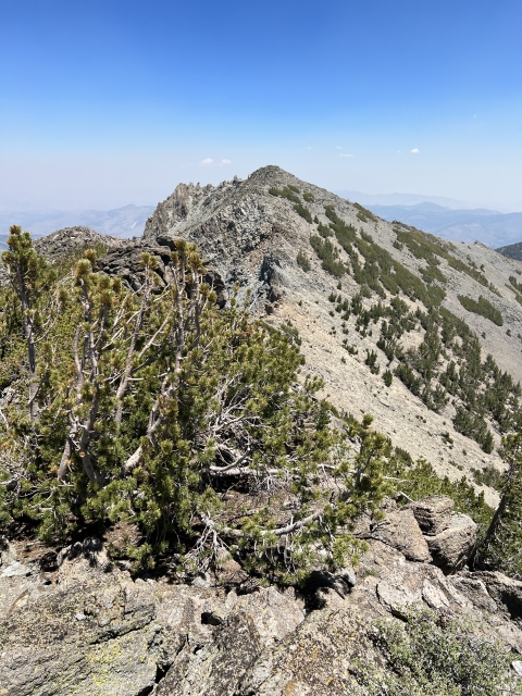
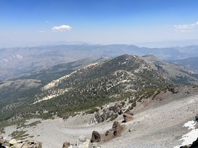
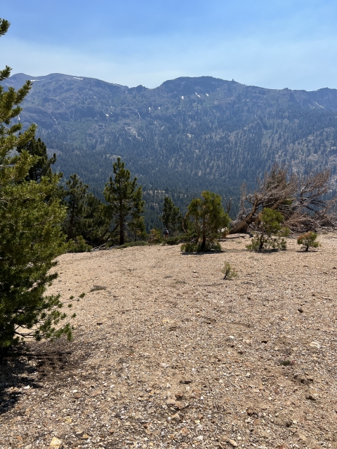
Looking back at Silver Peak from Silver Peak SW Summit
On the descent, there are many reports highlighting the difficulty in the terrain. Our idea was to climb back over Silver Peak and descend down an open ridge in the saddle between Highland and Silver.

Silver Peak SW summit and Highland behind it.
The descent went very smoothly with no bushwhacking. The ridge is steep, however, it’s mostly open and offers little resistance.

Ridge descent into Noble Canyon
Soon you will enter into an open forest where we even found a broken arrowhead!

broken arrowhead
Follow your gps tracks until it meets then Noble Canyon Trail. From here it’s about 3 miles back out to Highway 4 and your second car.
The Final Word
While chasing the Ogul List, these two peaks are a couple that stick out as being on the tougher side. When combining these two peaks, you can expect a huge day and a wild adventure.
Using the car shuttle proves to be a brilliant decision and cuts out mikes and gain on the return.
Highland and Silver Peaks are giants in the Ebbett’s Pass area and two great peaks to climb.