Wade Benchmark

Place Name: Nevada County
Place Description: State: California
Date: 9/24/2021
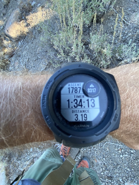
Elevation: 9,367 Feet
Prominence: 287 Feet
Miles: 11.3
Elevation Gain: 3,280 Feet
Lists: Tahoe-Ogul
-
Difficulty
-
Solitude
-
Kid Friendly
-
Summit Views
An Ogul List Sleeper
Wade Benchmark is definitely a sleeper on the Tahoe Ogul List. A peak that you can pass by many times while traveling to other peaks and easy to put off. That’s exactly what I did. If you choose your routes wisely, this can be quite a pleasant excursion.
Overall
3Pros
- Nice trail to start
- Great views
- Lots of solitude
Cons
- 1,100 feet of gain in first mile
- Stupid name
- Heavy bushwhacking if not careful
With 63 peaks on the Tahoe Ogul List, Wade Benchmark is one of the forgotten ones. Maybe it’s because of the stupid name, I mean who wants to climb a benchmark. It should be Wade Mountain. It could also be that it has a reputation as bush whack.
Whatever the reason, Wade Benchmark is only climbed a few tines per year by Ogul chasers and that is a shame. This area of the Carson Range was rather beautiful.
Getting There
Getting to the trail is easy. Follow Highway 88 just east of Hope Valley where it follows the Carson River into a canyon. On the north side of the highway there is a large dirt parking area and the Horse Thief Canyon Trail Head starts here.
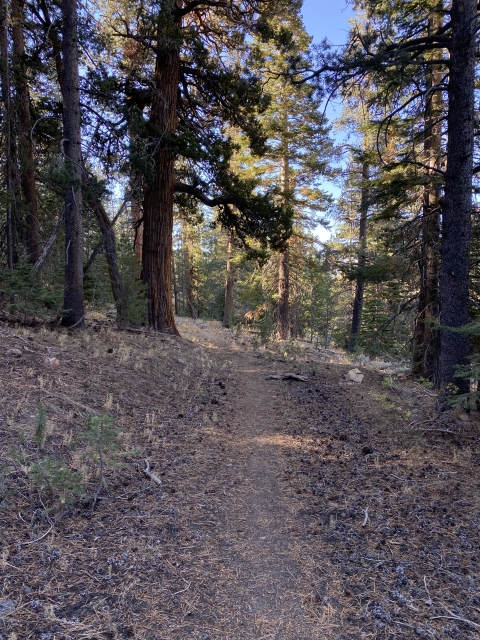
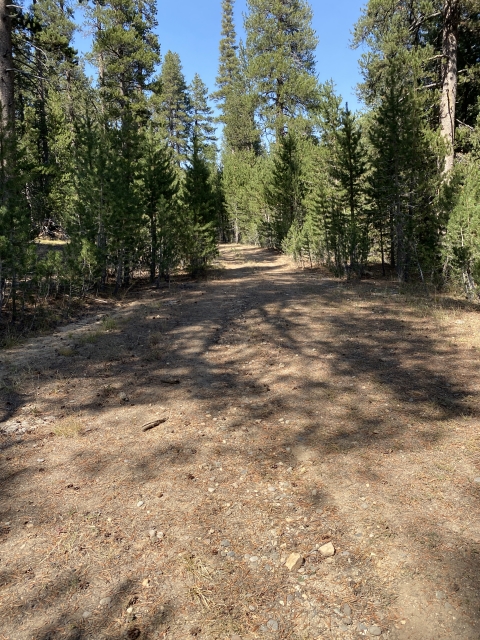
The Trail
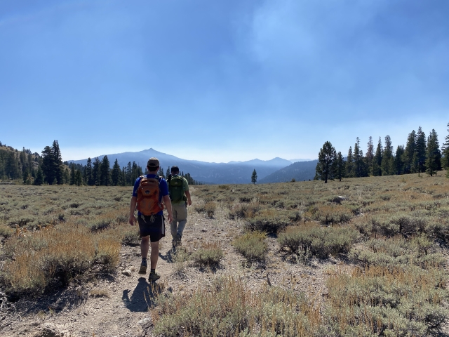
The Horse Thief Canyon Trail is very nice. It’s definitely maintained and easy to follow. The first mile climbs a lot as it gains elevation through the canyon. In fact, it gains 1,100 feet in that first mile and is a bit of a grind. he entire way up there is a creek that was running very well for fall in a bad snow year.

Creek.
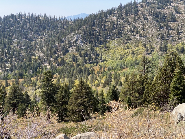
After the first mile, the trail levels off and is very easy walking. Eventually you will cross an old forest road and you will make a right, cross the creek, and start hiking on the single track again. This section passes through some nice aspens.

Reaching the junction with the road. Go right.

Creek crossing

Aspens changing colors.
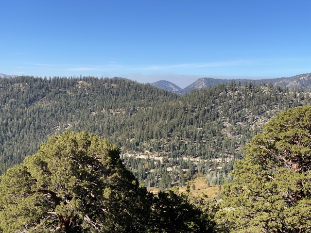
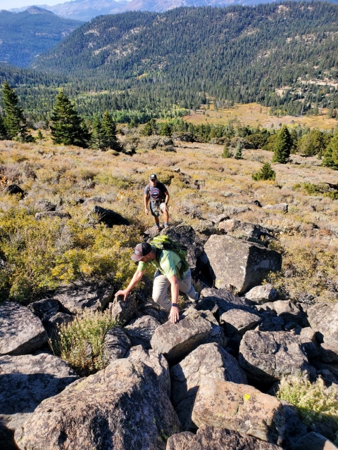
At around the 3.3 mile mark, we turned off the trail ad headed uphill to tag Peak 9390. The cross country hiking was easy going through low brush and some talus, gaining the ridge.

Looking back at what we climbed up.
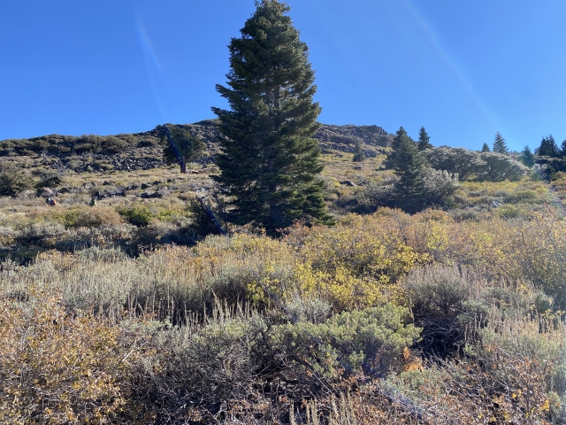
At the ridge, there is some heavy brush and some bush whacking. If you are wise, you can drop down the left side of the ridge working the lower side of it, avoiding brush all the way to the summit of Peak 9390.

Summit of Peak 9390.
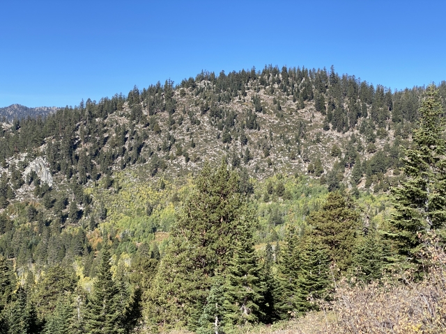
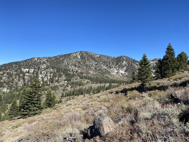
From Peak 9390, the walk over to Wade Benchmark was through open forest and very easy walking. The final 200 feet of climbing leads to a rocky summit.

Wade Benchmark across the forest.
The Summit
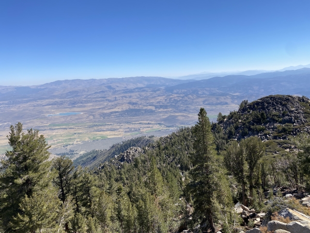
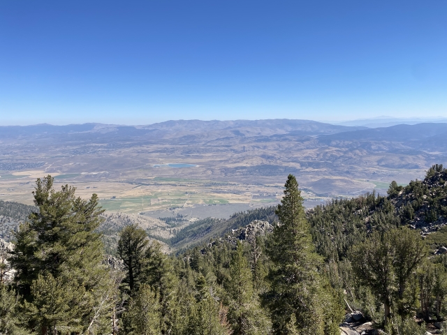
The rocky summit of Wade Benchmark has some fantastic views. The main views are towards Carson Valley in the east with Mount Siegel sitting prominently across the valley.

Mount Siegel across the Carson Valley.
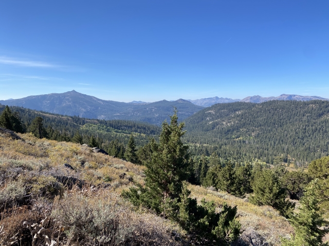
Looking back to the west, the main peaks of Carson Pass, Round Top, Red Lake Peak, and Stevens Peak sit on the skyline.

Climbing up to Wade Benchmark.
Hawkins Peak sits to the south and Jobs Peak directly to the north. There are quite a few Oguls in the region!
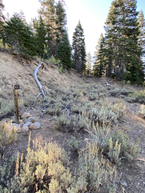
The return trip took us northwest from the summit through the forest again. We avoided all the bushwhacking and quickly found an old road which turned into the Horse Thief Canyon Trail. Look for the sign marking the end of the maintained trail. Although, if you are just going for Wade Benchmark, pass this sign and hike through the forest all the way to the summit.

End of the official trail.
The Final Word
I was simply shocked about how much I liked this hike. I had put it off for 2 years and it is now an area I would explore again at some point. The creek is very pretty and the changing aspens made for a nice hike on an early fall day.
The views are simply beautiful and the solitude you will find back here is rare compared to other hikes in the region.
Make sure to add this one to your list!