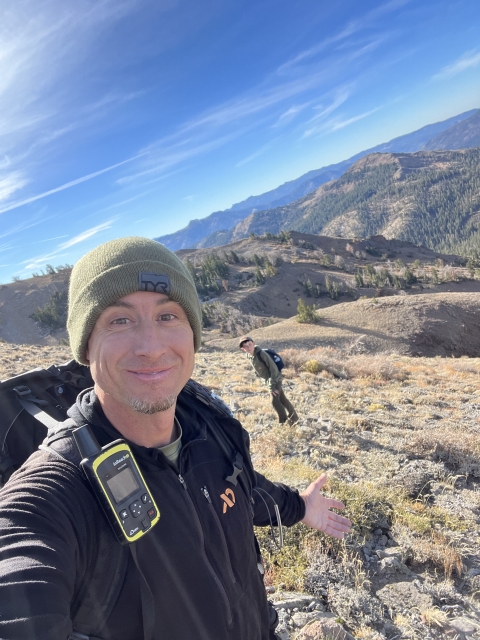
Arnot Peak

Place Name: Alpine County
Place Description: State: California
Date: 10/29/2022
Elevation: 10,054 Feet
Prominence: 1,414 Feet
Miles: 7.5
Elevation Gain: 2,385 Feet
Lists: None
-
Difficulty
-
Solitude
-
Kid Friendly
-
Summit Views
Another Carson-Iceberg Gem
When it comes to peak lists, the Ebbett’s Pass area was greatly underappreciated. While there’s a few Oguls and SPS peaks in the area, some of the true gems were overlooked.
For example, Arnot Peak, which is one of the few in the area over 10k gets very little appreciation from the Peak Bagging community. Don’t let that fool you, this is one awesome peak and hidden gem!
Overall
3.8Pros
- Lots of good trail
- Amazing views
- Easy cross country
Cons
- Highland Lakes area can be busy
- Cattle in the area during summer
- Steep mile towards the end
Ebbett’s Pass seems to be a forgotten area of the Sierras. It’s so easy to overlook, however, with amazing peaks like Arnot Peak, don’t make that mistake.
Rising to 10,054 feet, Arnot Peak is wonderful perch to view and look over the Carson-Iceberg Wilderness area. With a trail going 2/3’s of the way, this makes for a great beginner back country hike.
Getting There
The closest approach is from the Gardiner Meadow Trailhead which is located at Highland Lakes off of Ebbett’s Pass. Drive up Highway and west of the official pass is Highland Lakes Road. This road winds about 6 back to the lakes where there is a campground.
The first section is paved, although further down it turns to dirt. After driving this road, I think most cars can get back there if driven carefully.
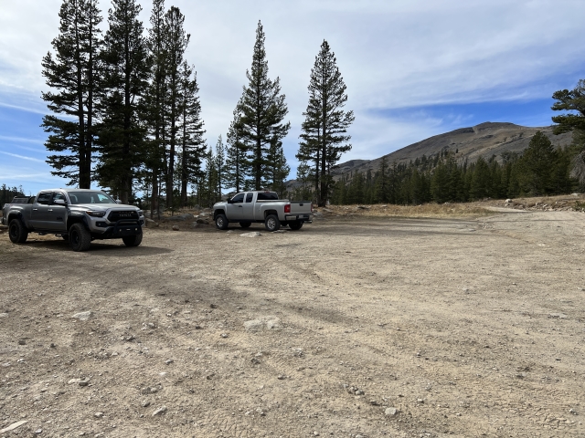
Before arriving at the first lake, turn left and pull into the large parking area.

The Trail
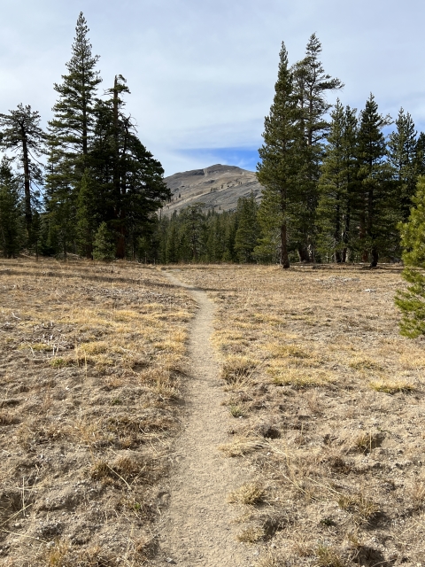
Following the Gardiner Meadow Trail is easy. It starts out by doing some ups and downs before entering the Carson-Iceberg Wilderness. The sign is missing, although the post remains. Shortly after passing the post, the trail makes a split near a large log, make sure to stay right.

Unmarked split. Stay right.
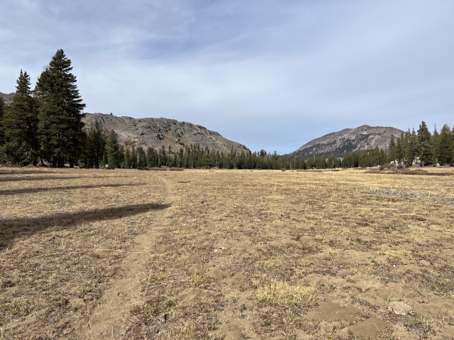
Eventually, the trail crosses right through Upper Gardiner Meadow. The large mountain off to the left is not Arnot Peak, however, you will be ascending the right side of it to get there. At the end of the meadow, there is a trail marker showing the Arnot Creek Trail and Disaster Creek Trail. Follow the Disaster Creek Trail.

Walking through Upper Gardiner Meadow

Trail junction at end of Upper Gardiner Meadow.
Once through the meadow, cross up and over a small little hill that will drop you into the forest. A small meadow appears on the right and another larger meadow is on the left. At the front end of this meadow, there is a junction to Half Moon Lake. Turn right and follow the Disaster Creek Trail to the far end of the meadow.

Disaster Creek Trail goes straight down meadow.
You will notice some gullies to the left. At this point, break off trail and climb the gully up the ridge line.

Look back at the gully
The steepest section of the hike begins. The cows do a nice job making trails in the brush, however, they never go the way you want them to. Keep climbing towards a rocky outcrop. The first set is dark rock which you will bypass on the left.

Head towards the large rock in top of pic.
This leads to another steep hill and rock outcrop above. Climb the hill and make some class 2 moves through the rocks and you will finally see the summit of Arnot Peak across the saddle.

Arnot Peak summit area
The Summit
The final ascent across the saddle is easy walking and gains about 400 feet. There is a light use trail in spots and it leads right up to the volcanic summit block. There are three contenders for the highpoint. Once on the summit, it’s pretty clear that you are actually higher than the other two.

Arnot Peak summit block
Views of Highland Peak, Disaster Peak, Tryon Peak, Airola Peak, and Stanislaus Peak are amazing. There is even a clear view to Mount Tallac, the Crystal Range, Red Lake Peak, Stevens Peak, and Round Top.

View towards Round Top, Red Lake Peak, Stevens Peak, and Mount Tallac.

View to Emma Peak (L), Walker Mountain (C), and Stanislaus Peak (R).
The Sweetwaters and Desert Creek Peak are in plain view to the east.
The Final Word
Arnot Peak is a fun peak to climb. With a good trail and easy terrain, I think this is a nice peak to get your feet wet in back country and cross-country travel. As always, know your limitations and download a GPS track to follow. The mileage and gain are very moderate making this a peak that you can combo with something else in the area. Hiram and Folger Peaks near Highland Lakes being the top choices!
If you haven’t found your way over to Ebbett’s Pass, give it a try. It’s a beautiful area of the Sierras.


 and Bull Lake Peak (R)")


 and Airola Peak (R).")


, Walker Mountain (C), and Stanislaus Peak (R).")


")